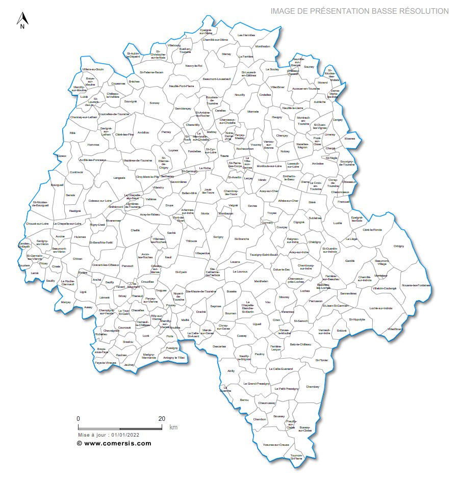
Editable cities map of Indre-et-Loire - France
Illustrator, EPS, PDF and SVG ready to use files.
Supplied with with a complete list and zipcodes of Indre-et-Loire municipalities (Excel).
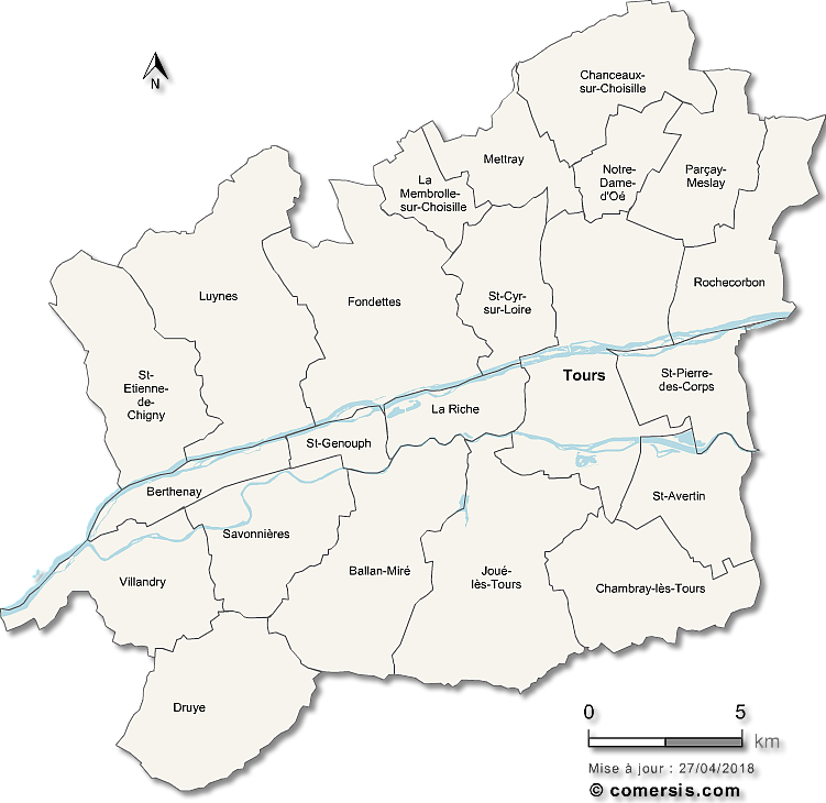
 click on the map to enlarge
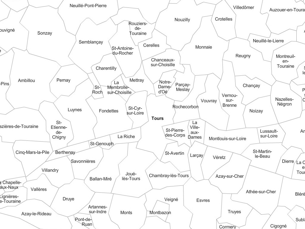
The files contained in this download
 Editable Indre-et-Loire municipalities vector map with names ( France ).
 Illustrator Indre-et-Loire municipalities vector map with names ( France ).
 Eps Indre-et-Loire municipalities vector map with names ( France ).
 Pdf Indre-et-Loire municipalities vector map with names ( France ).
 Svg Indre-et-Loire municipalities vector map with names ( France ).
 Download municipalities map of Indre-et-Loire