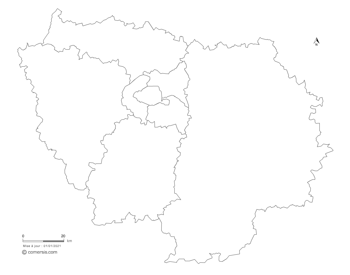
Editable counties map of Île-de-France
Illustrator, Eps, Pdf et Svg.
With full of Île-de-France cantons.
Updated feb. 2017.
 click on the map to enlarge
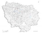
Editable counties map of Île-de-France
Illustrator, Eps, Pdf et Svg.
With full of Île-de-France cantons.
Updated feb. 2017.
click on the map to enlarge
tags cantons,Île-de-France,cantonale,2017
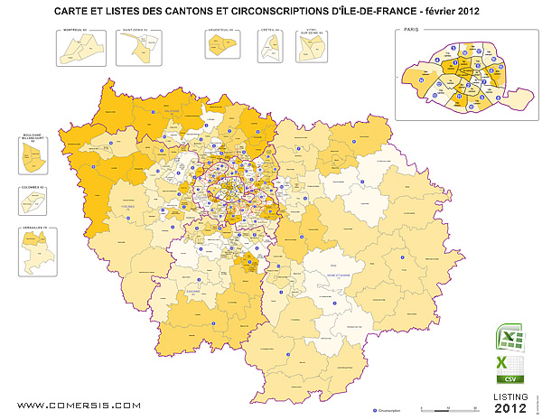
 Editable Île-de-France counties map ( France ) 2012.
 Illustrator Île-de-France counties map ( France ) 2012.
 Eps Île-de-France counties map ( France ) 2012.
 Pdf Île-de-France counties map ( France ) 2012.
 Svg Île-de-France counties map ( France ) 2012.