Gironde municipalities vector map with names ( France ).

last update : november 16, 2023


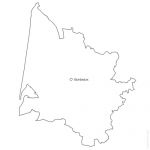
Editable cities map of Gironde - France
Illustrator, EPS, PDF and SVG ready to use files. Supplied with with a complete list and zipcodes of Gironde municipalities (Excel).

Gironde municipalities vector map with names ( France ).
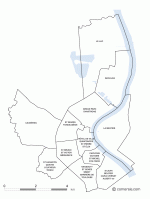
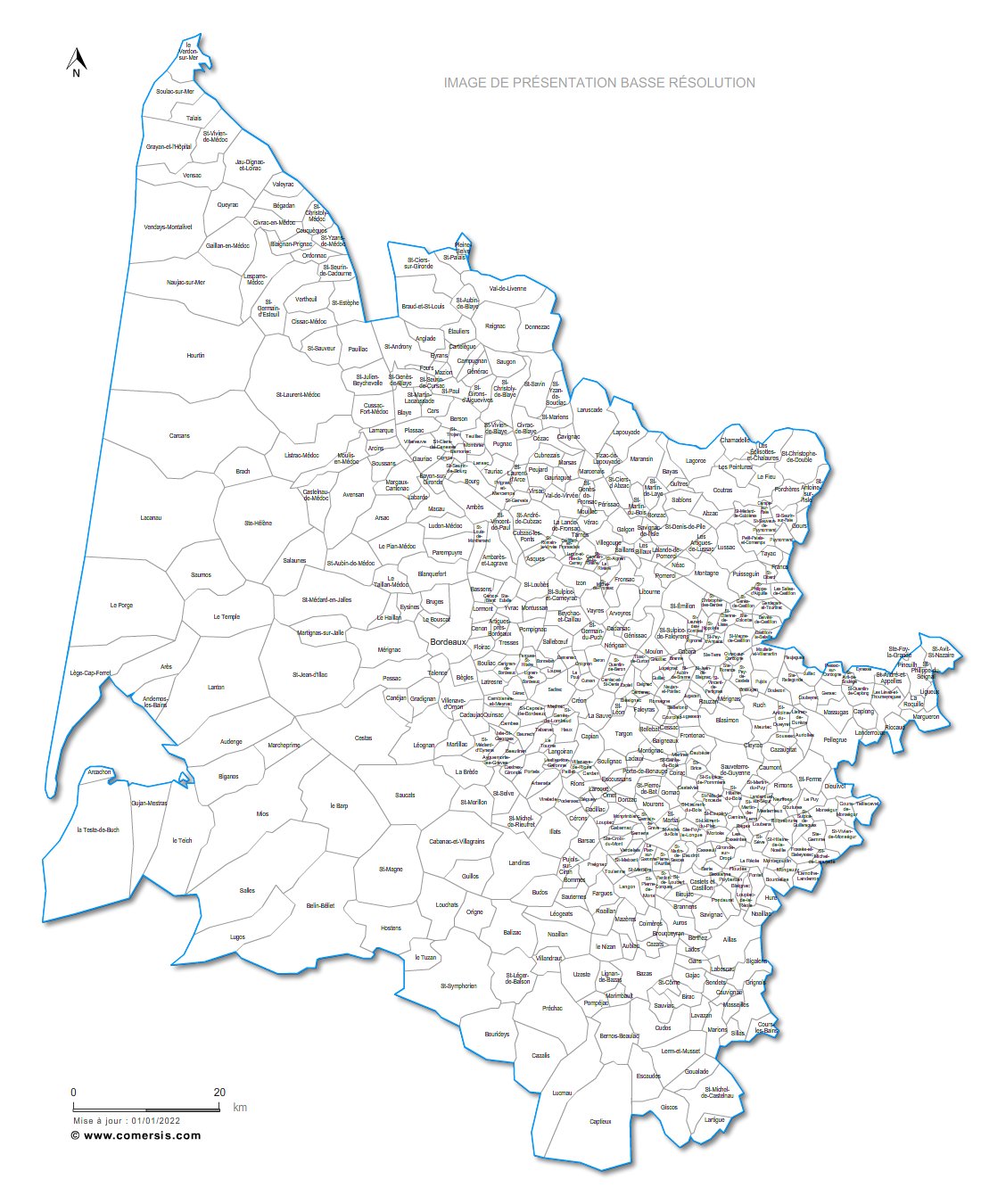
click on the map to enlarge
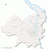
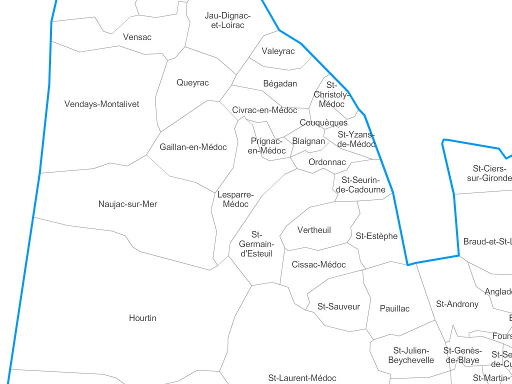
Gironde municipalities vector map with names ( France ). Gironde municipalities vector map with names ( France ). 2

Presentation

  • Resizable : The map of Gironde municipalities is drawn in vector wich allows a lossless image quality resize.
  • Splittable : You can easily select one or several areas (cities) of this map in order to create a detail map view (a kind of zoom) and resize it as you need.
  • Colorable : Each division of this map (municipalities) is independant. Borders, outlines, shapes, layout, texts can be modified.
  • Find all our Gironde maps at : france.comersis.com > section : See all Gironde maps


    [ Website in french ]


    tags communes,Gironde,Aquitaine,carte,2017


    See also


    33 Gironde french department vector map

    map-of-33 Gironde french department vector map

    Free vector flash map of Gironde department. WMF and EMF map file. France department
    Bordeaux city districts map

    map-of-Bordeaux city districts map

    free city map of Bordeaux neighborhoods. Editable working document.
    Bordeaux Metropole municpalities map

    map-of-Bordeaux Metropole municpalities map

    Map of the 28 municipalities making up the Metropole of Bordeaux (Bordeaux Métropole).
    Bordeaux unicolor vector street map for print

    map-of-Bordeaux unicolor vector street map for print

    Plan poster of the streets of Bordeaux monochrome to modify and print according to your needs. Prints all dimensions (vectorial), Illustrator, Eps and PDF files into layers.

    Quotation

    Use our form for your free quote requests of interactive maps or vector maps:

    Request a quote map