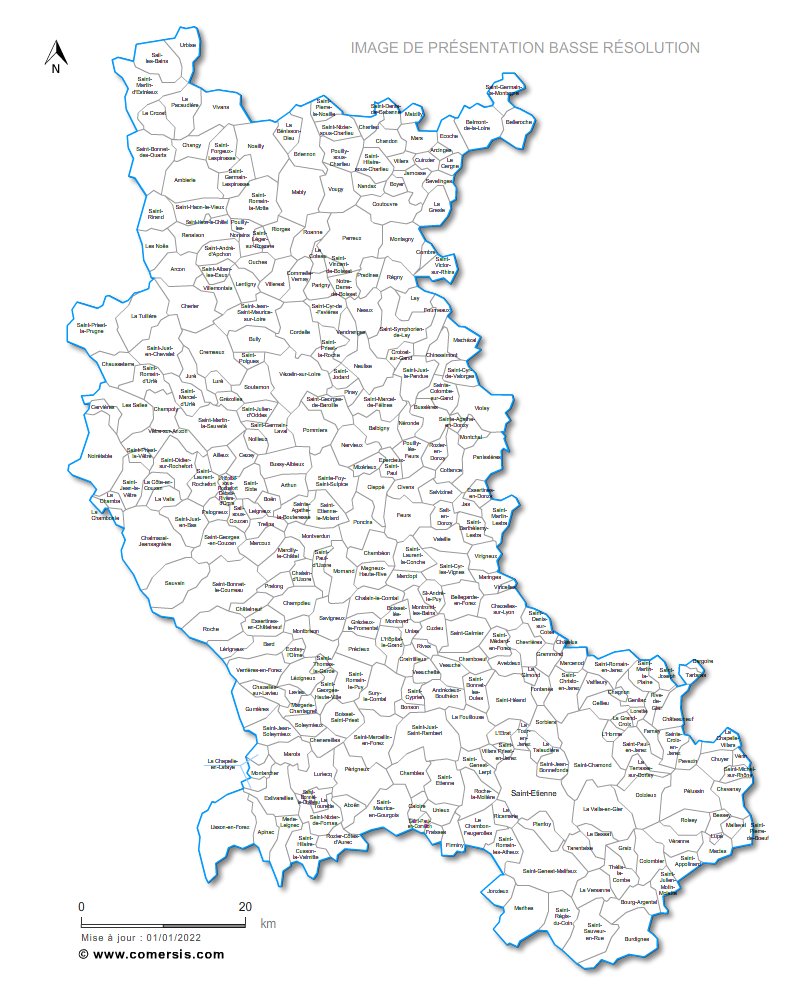
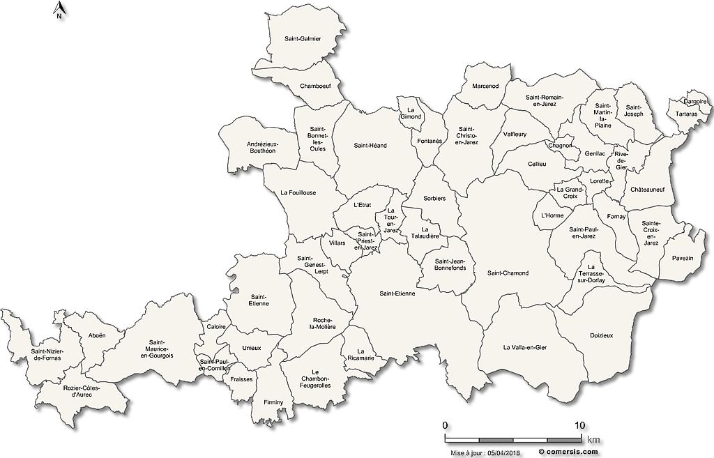
maps

Maps of Loire

Select areas in Loire

Editable cities map of Loire - France
Illustrator, EPS, PDF and SVG ready to use files. Supplied with with a complete list and zipcodes of Loire municipalities (Excel).


Customizable map of the 53 municipalities of the metropolis of Saint Étienne.


Editable counties map of Loire Office Excel and Word ready to use sheets. With full names.
Updated march 2014.


Free vector map of Loire department. EPS and PNG map file. France department