map

Powerpoint, Excel, Word India states map


Powerpoint, Excel, Word India states map

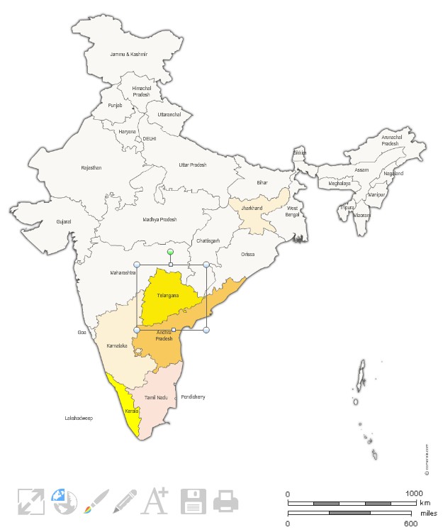
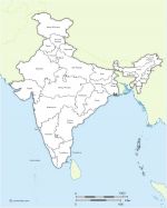
click on the map to enlarge

Customizable map of the 29 states of India, editable with Excel, PowerPoint or Word.


tags India,Excel,Word,Powerpoint,map,states

Files format *

* Files contained in this download..


See also


Free vector map of India

Free vector map of India

Map of India and border countries in Illustrator, Svg and Flash. Original map file size : 600 x 700 pixels. Free to download and to use.
Vector map of Indian states with names and boundaries.

Vector map of Indian states with names and boundaries.

Editable map of India with its 29 States appointed (non-vectorized text) and neighboring countries. Original Size: 600 x 700 pixels Vector formats: Illustrator, SVG, SWF importable.
India regions clickable map

India regions clickable map

Free map of the regions of India for Internet webpage. Each region can receive a different link (HTTP link, email link, JavaScript link, download link ...)

Quotation

Use our form for your free quote requests of interactive maps or vector maps:

Request a quote map


Who is comersis.com

Comersis.com website
29630 Plougasnou
Tél.: (33).2 98 15 70 81

New opening hours :
Tuesday to Friday from 09h30 to 12h30
Siret :387 676 828