
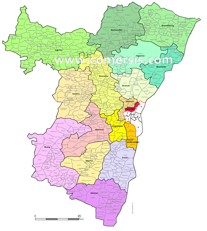
Editable cities map of Bas-Rhin - France
Illustrator, EPS, PDF and SVG ready to use files.
Supplied with with a complete list and zipcodes of Bas-Rhin municipalities (Excel).
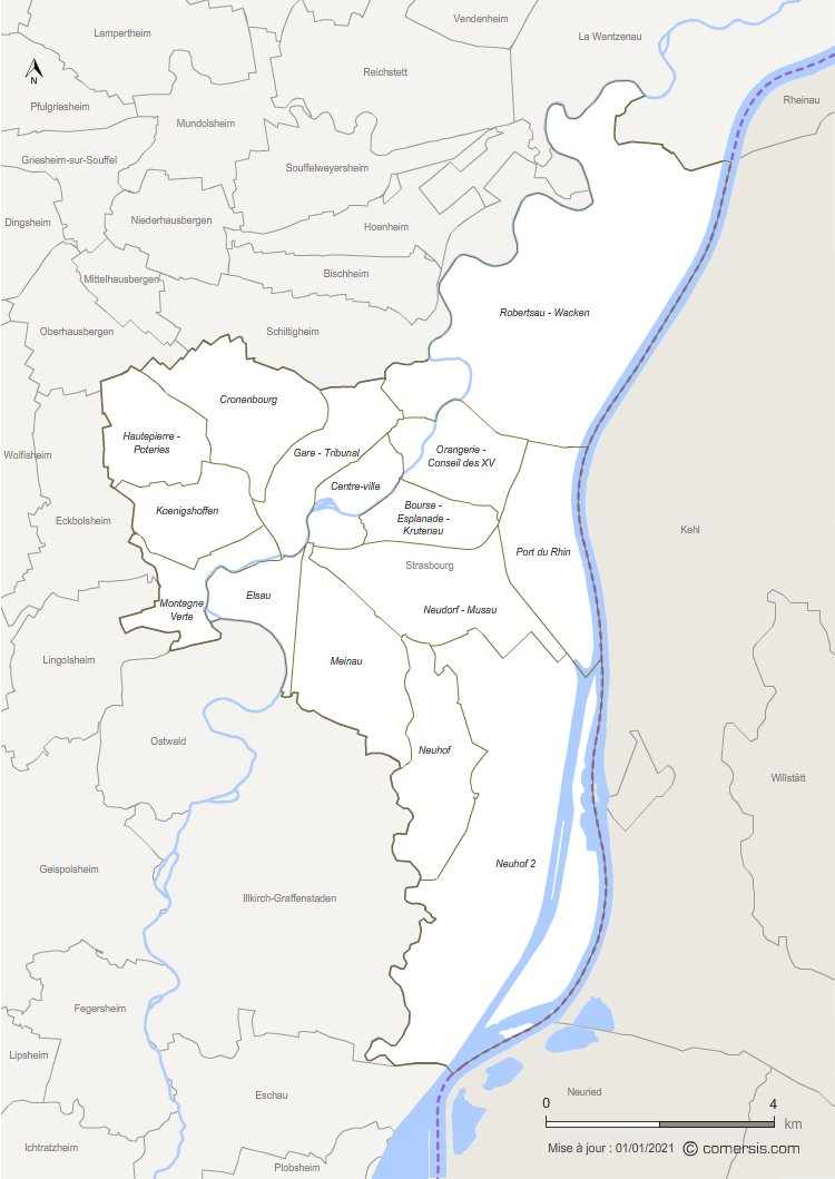
Customizable map of the 15 functional districts of Strasbourg.
This base map is an editable work document with a choice of: Illustrator, Excel, Powerpoint, Word or Paint.
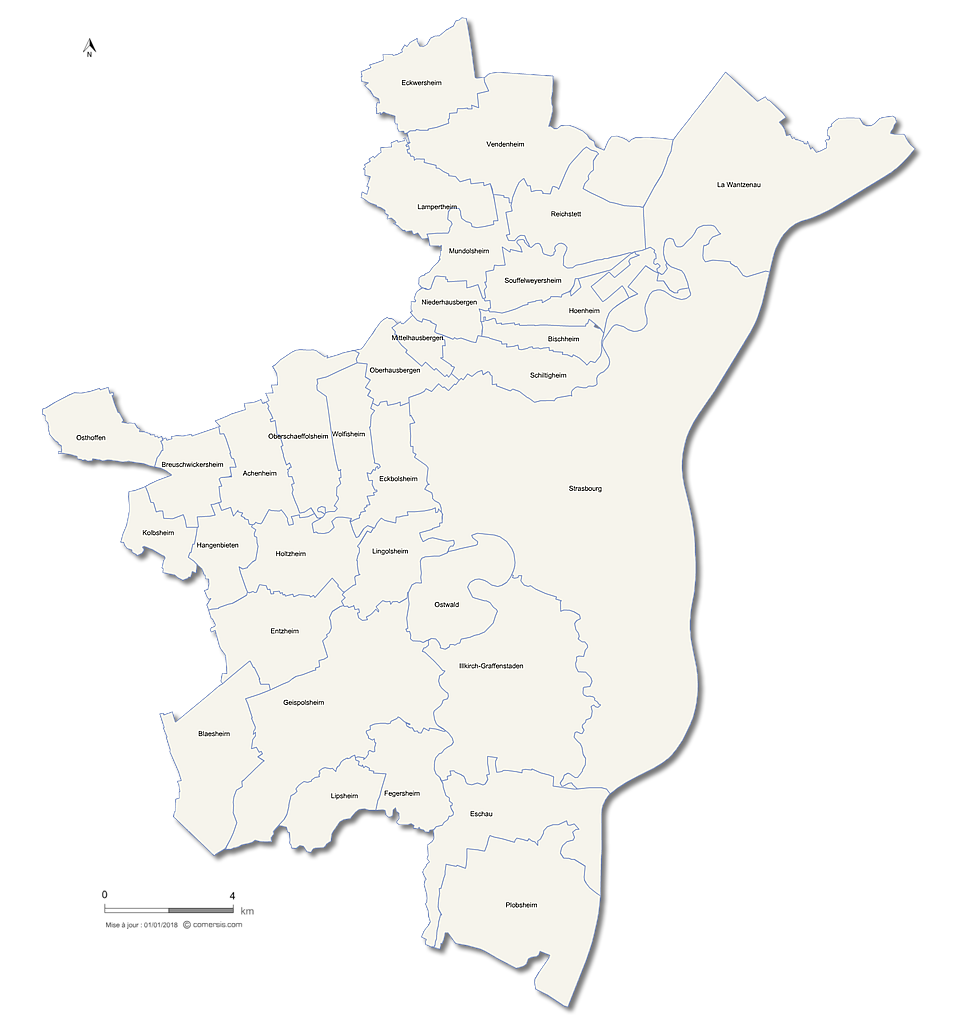
Editable counties map of Bas-Rhin
Office Excel and Word ready to use sheets.
With full names.
Updated march 2014.
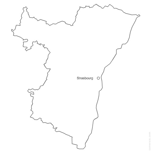
Free vector map of Bas-Rhin department. EPS and PNG map file.
France department