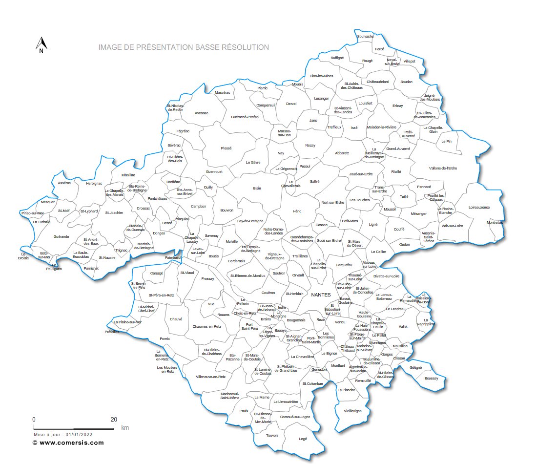
Editable cities map of Loire-Atlantique - France
Illustrator, EPS, PDF and SVG ready to use files.
Supplied with with a complete list and zipcodes of Loire-Atlantique municipalities (Excel).
Updated april 2017.
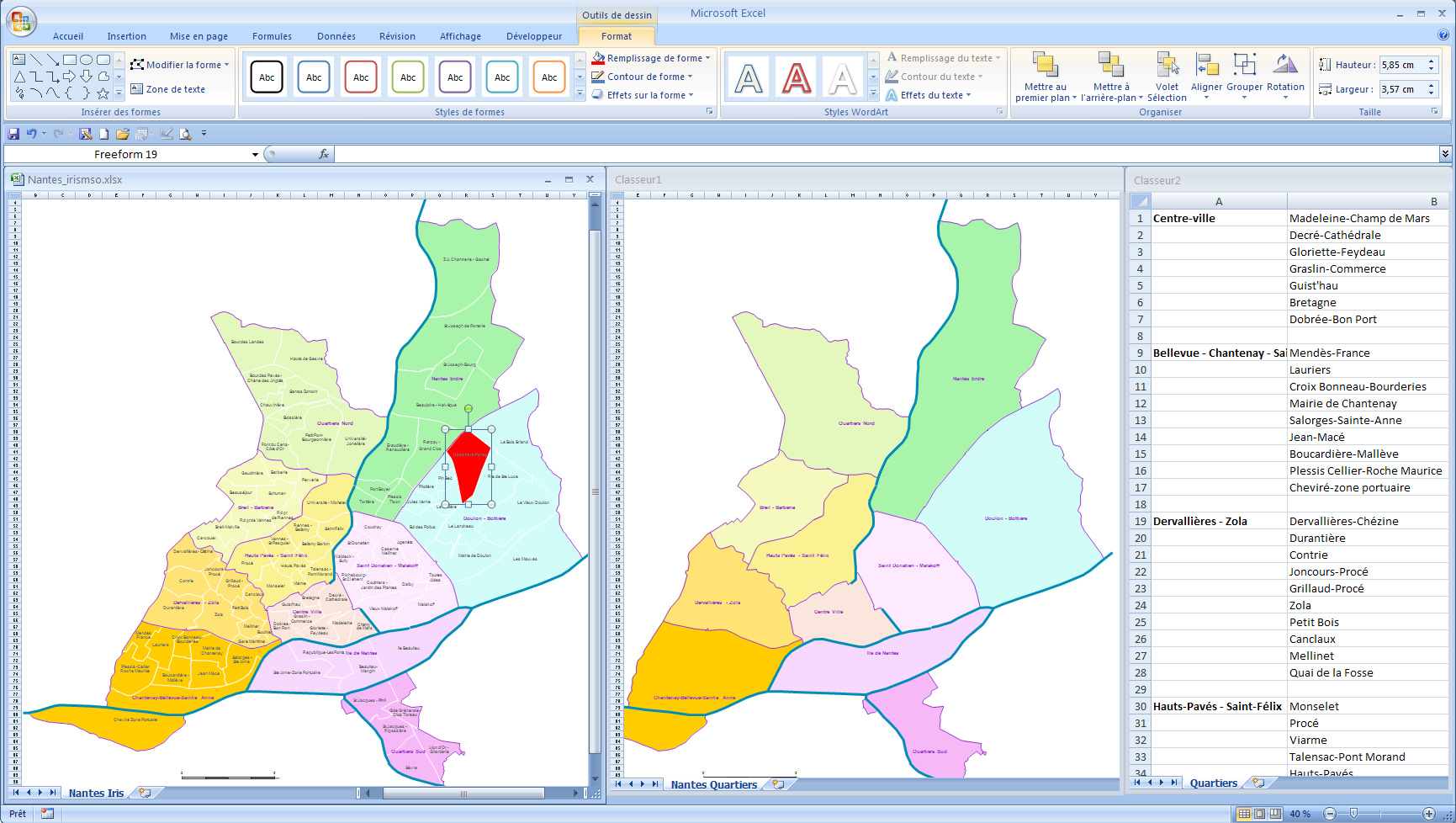
Customizable map of Nantes districts and sub-districts. IRIS sub-municipal zoning.
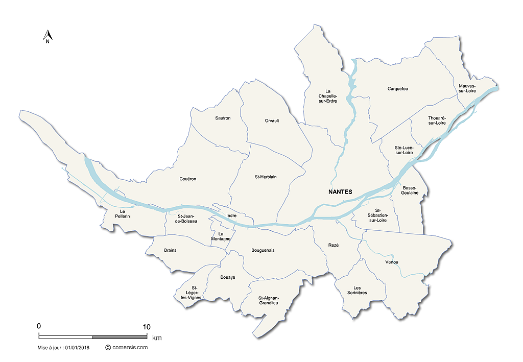
Editable layered map of the 24 municipalities of the metropolis of Nantes.
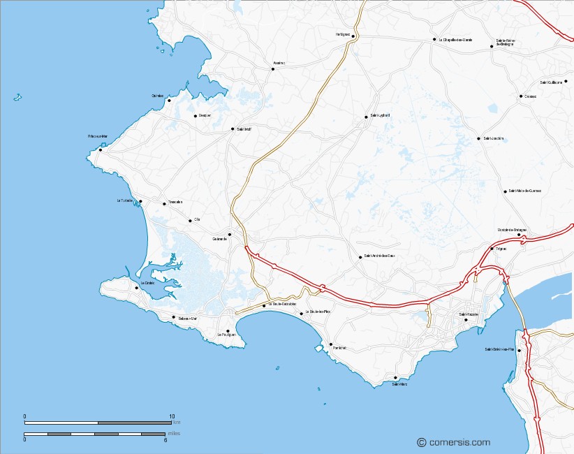
Illustrator, EPS base map of French Côte d'Amour with layers roads, cities, hydrography.
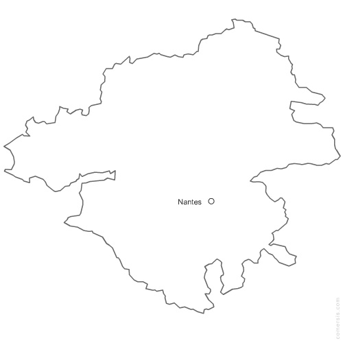
Free vector map of Loire Atlantique department. EPS and PNG map file.
France department
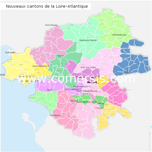
Editable counties map of Loire-Atlantique
Office Excel and Word ready to use sheets.
With full names.
Updated march 2014.