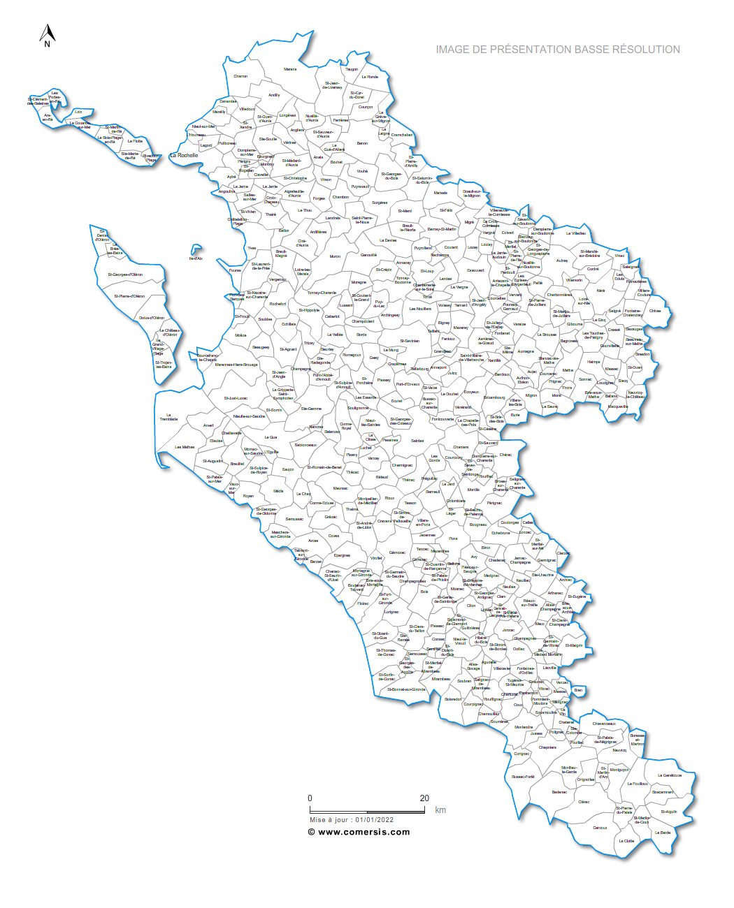
Editable cities map of Charente-Maritime - France
Illustrator, EPS, PDF and SVG ready to use files.
Supplied with with a complete list and zipcodes of Charente-Maritime municipalities (Excel).
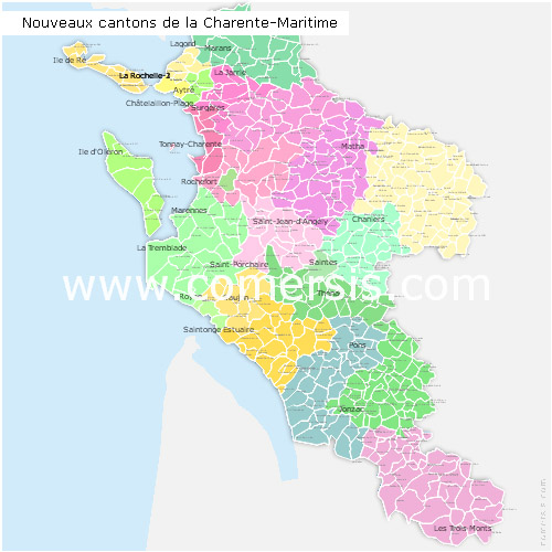
Editable counties map of Charente-Maritime
Office Excel and Word ready to use sheets.
With full names.
Updated march 2014.
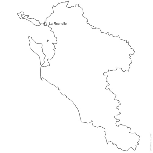
Free vector map of Charente Maritime department. Eps and Png map file.
France department
Vector map with outline of 472 municipalities of Charente-Maritime - 17 french department
with towns names. (non-vectorized text in Ai)
Full vector editable file : Illustrator® *Ai, AutoCad® *Dwg, Acrobat® *Pdf.
Other formats available on simple request (Fla, Emf, Svg, Eps, Psd, Cdr...).