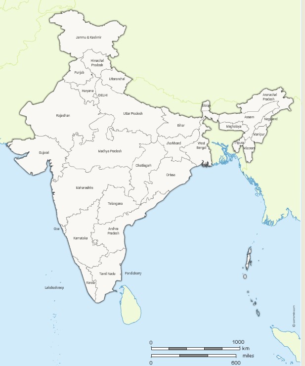
Editable map of India with its 29 States appointed (non-vectorized text) and neighboring countries.
Original Size: 600 x 700 pixels
Vector formats: Illustrator, SVG, SWF importable.
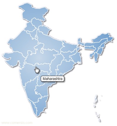
Customizable map of the 29 states of India, editable with Excel, PowerPoint or Word.
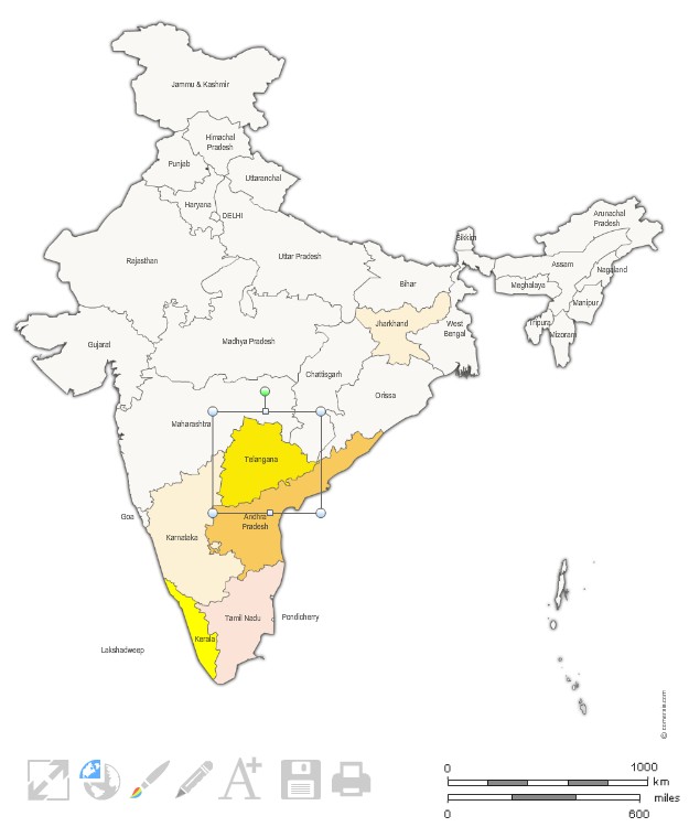
Free map of the regions of India for Internet webpage. Each region can receive a different link (HTTP link, email link, JavaScript link, download link ...)
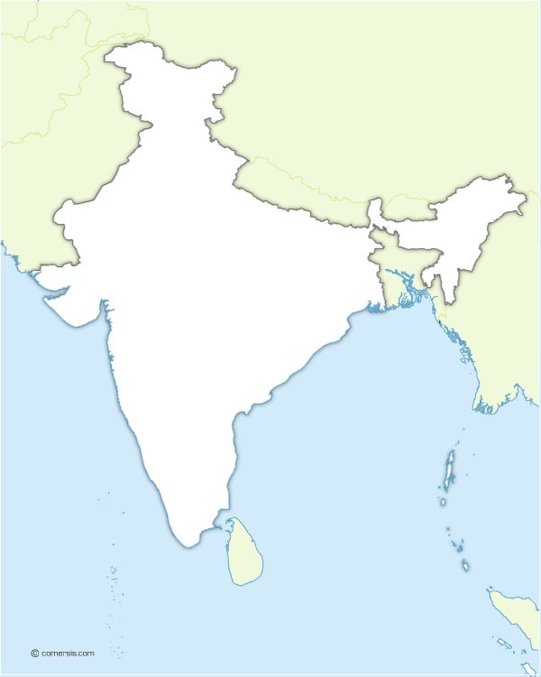
Map of India and border countries in Illustrator, Svg and Flash.
Original map file size : 600 x 700 pixels.
Free to download and to use.
35 union territory
Andaman and Nicobar Islands, Andhra Pradesh, Arunachal Pradesh, Assam, Bihar, Chandigarh, Chhattisgarh, Dadra and Nagar Haveli, Daman and Diu, Delhi, Goa, Gujarat, Haryana, Himachal Pradesh, Jammu and Kashmir, Jharkhand, Karnataka, Kerala, Lakshadweep, Madhya Pradesh, Maharashtra, Manipur, Meghalaya, Mizoram, Nagaland, Orissa, Pondicherry, Punjab, Rajasthan, Sikkim, Tamil Nadu, Tripura, Uttar Pradesh, Uttaranchal, West Bengal,