maps
35 union territory
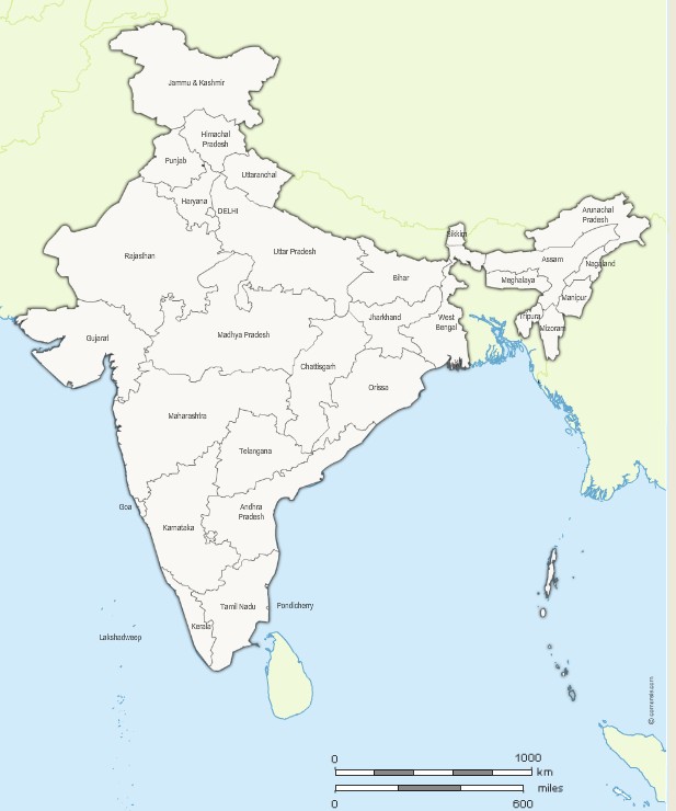
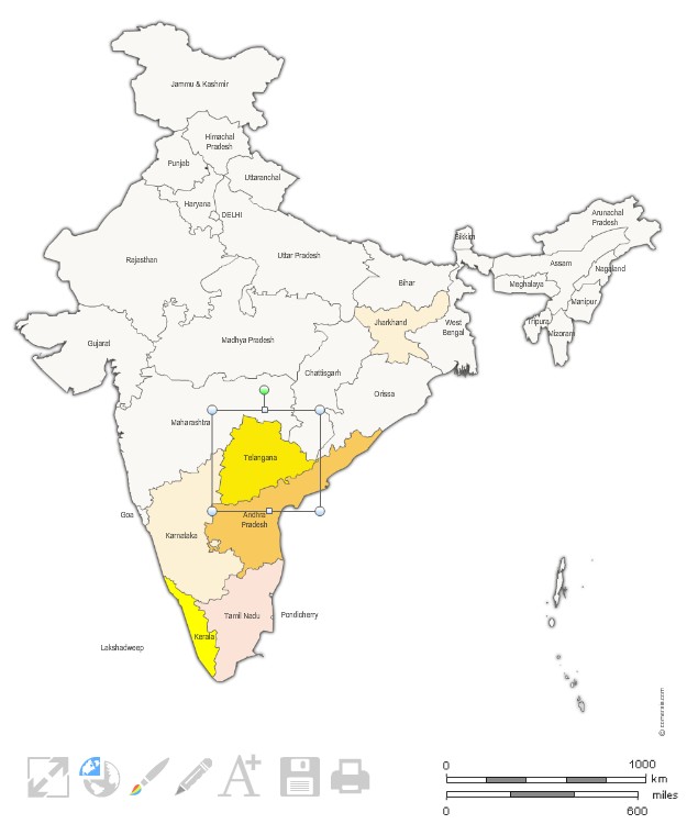
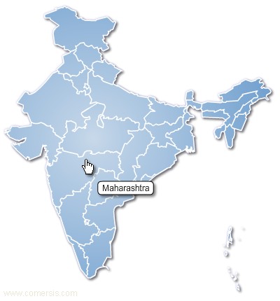
Andaman and Nicobar Islands, Andhra Pradesh, Arunachal Pradesh, Assam, Bihar, Chandigarh, Chhattisgarh, Dadra and Nagar Haveli, Daman and Diu, Delhi, Goa, Gujarat, Haryana, Himachal Pradesh, Jammu and Kashmir, Jharkhand, Karnataka, Kerala, Lakshadweep, Madhya Pradesh, Maharashtra, Manipur, Meghalaya, Mizoram, Nagaland, Orissa, Pondicherry, Punjab, Rajasthan, Sikkim, Tamil Nadu, Tripura, Uttar Pradesh, Uttaranchal, West Bengal, Armenia
 Azerbaijan
 Bangladesh
 Bhutan
 Brunei Darussalam
 Burma
Burma Cambodia
 China
China Democratic People s Republic of Korea
") Georgia (Caucasus)
Georgia (Caucasus) Guam
Guam Hong Kong
 Indonesia
 Japan
Japan Kazakhstan
 Kyrgyzstan
 Laos
Laos Macao
Macao Malaysia
 Maldives
 Mongolia
 Nepal
Nepal Pakistan
 Philippines
") Republic of Korea (South Korea)
Republic of Korea (South Korea) Russia
 Singapore
 Sri Lanka
 Taiwan
 Tajikistan
 Thailand
 Turkey
 Turkmenistan
 Uzbekistan
 Viet Nam