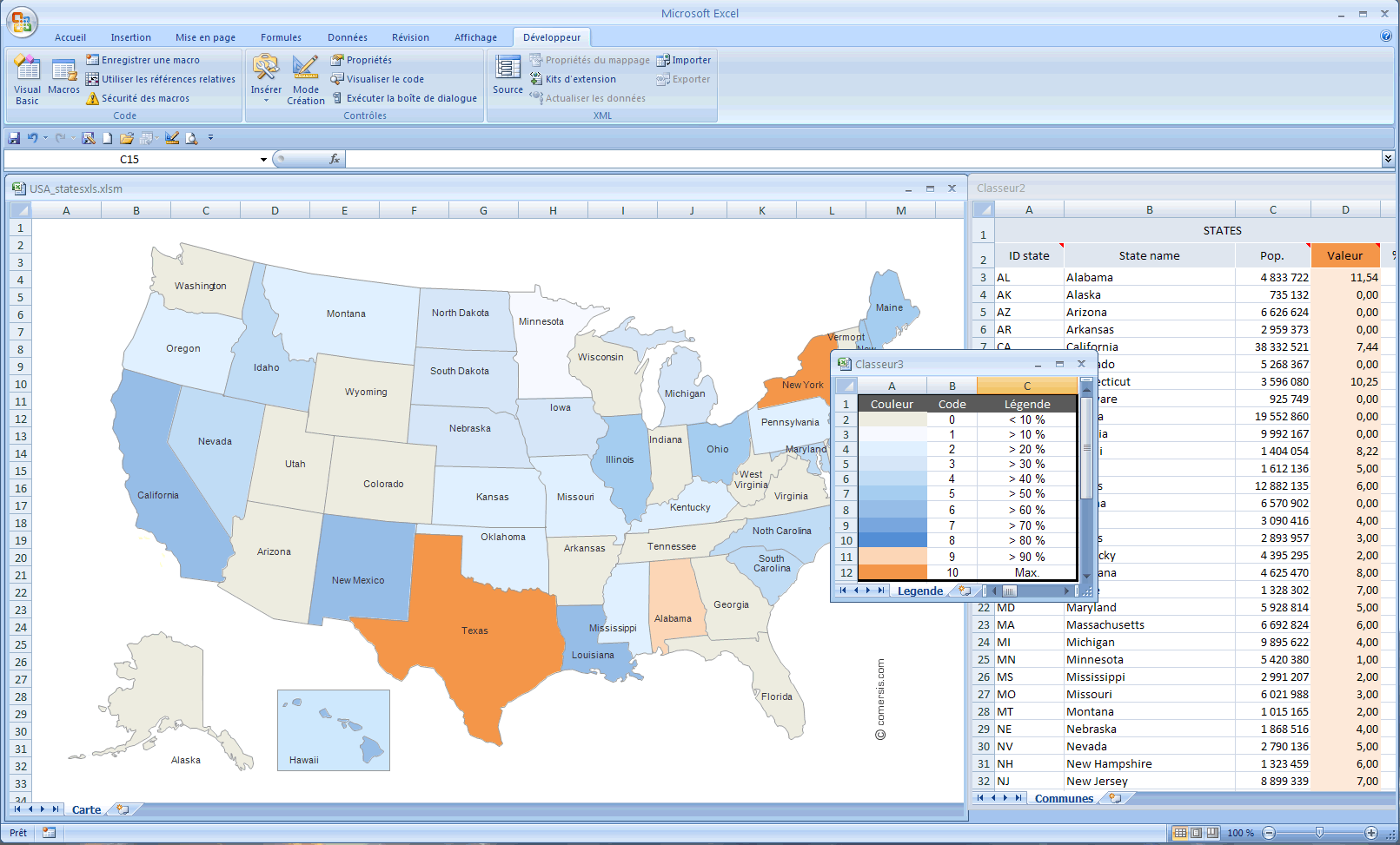
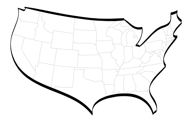
Map of USA states for Excel : fill your datas, select your colors and that's it !
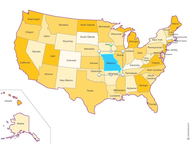
Customizable map of the United States of America built in vectors (clipart) where each State is a editable object.
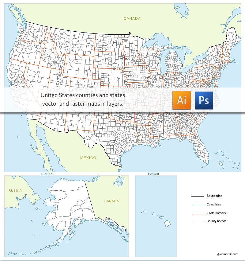
Raster and vector map of the counties of each state of the USA with neighboring countries, Alaska and Hawaii.
Also available with names of states and counties.
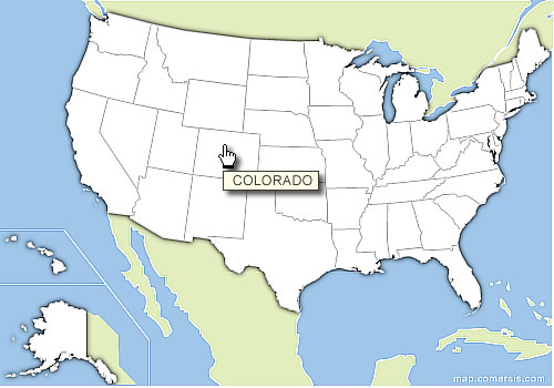
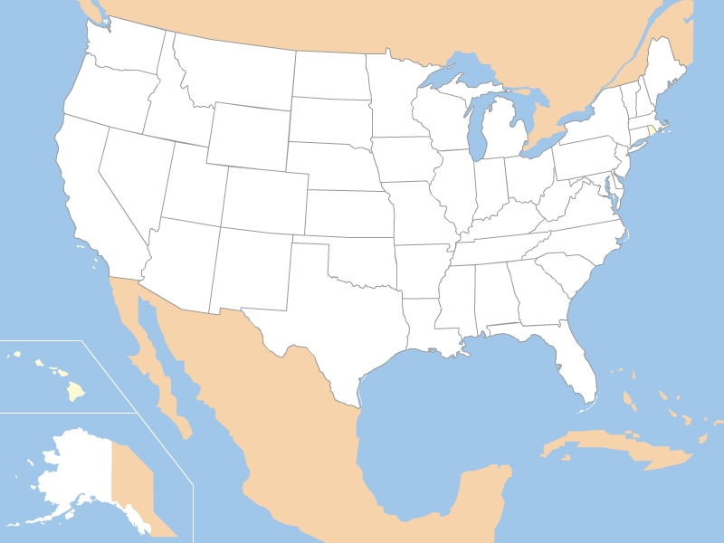
Clickable map of US states build in HTML, with area href tags, ready to use.
Just copy paste the source code and edit your own links.
57 state
Alabama, Alaska, American Samoa (see also separate entry under AS), Arizona, Arkansas, California, Colorado, Connecticut, Delaware, District of Columbia, Florida, Georgia, Guam (see also separate entry under GU), Hawaii, Idaho, Illinois, Indiana, Iowa, Kansas, Kentucky, Louisiana, Maine, Maryland, Massachusetts, Michigan, Minnesota, Mississippi, Missouri, Montana, Nebraska, Nevada, New Hampshire, New Jersey, New Mexico, New York, North Carolina, North Dakota, Northern Mariana Islands (see also separate entry under MP), Ohio, Oklahoma, Oregon, Pennsylvania, Puerto Rico (see also separate entry under PR), Rhode Island, South Carolina, South Dakota, Tennessee, Texas, United States Minor Outlying Islands (see also separate entry under UM), Utah, Vermont, Virgin Islands, U.S. (see also separate entry under VI), Virginia, Washington, West Virginia, Wisconsin, Wyoming,