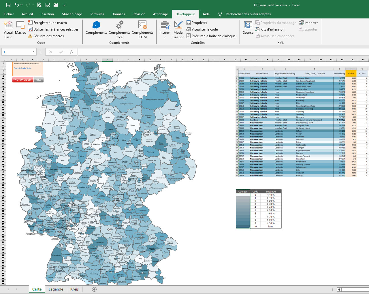
Choropleth Excel map of the districts of Germany with automatic coloring according to your values.

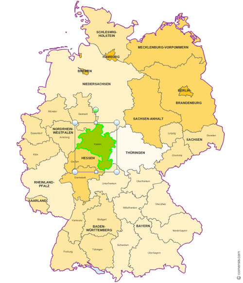
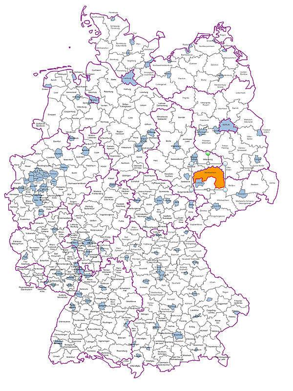
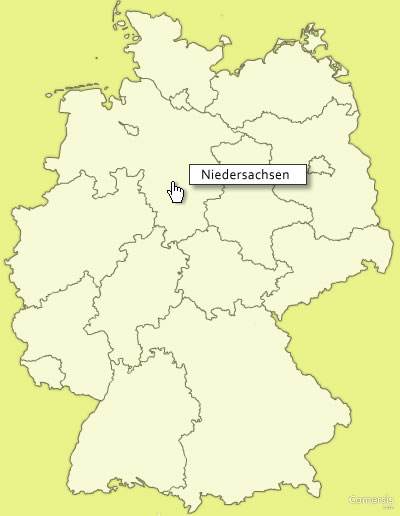
Full Html map of Germany with clickable regions, text on mouse over, editable links.
Suitable for dynamic or static website.
Free to download.
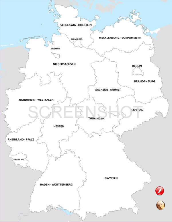
kostenlos anklickbare Karte von Deutschland Landeren
16 State
Baden-Württemberg, Bayern, Berlin, Brandenburg, Bremen, Hamburg, Hessen, Mecklenburg-Vorpommern, Niedersachsen, Nordrhein-Westfalen, Rheinland-Pfalz, Saarland, Sachsen, Sachsen-Anhalt, Schleswig-Holstein, Thüringen,