Editable map of Swiss kantons for Word and Powerpoint.
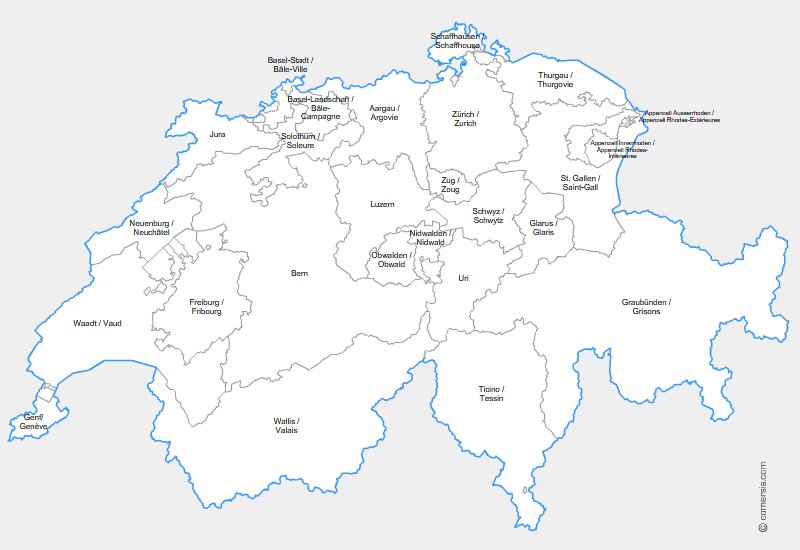 click on the map to enlarge
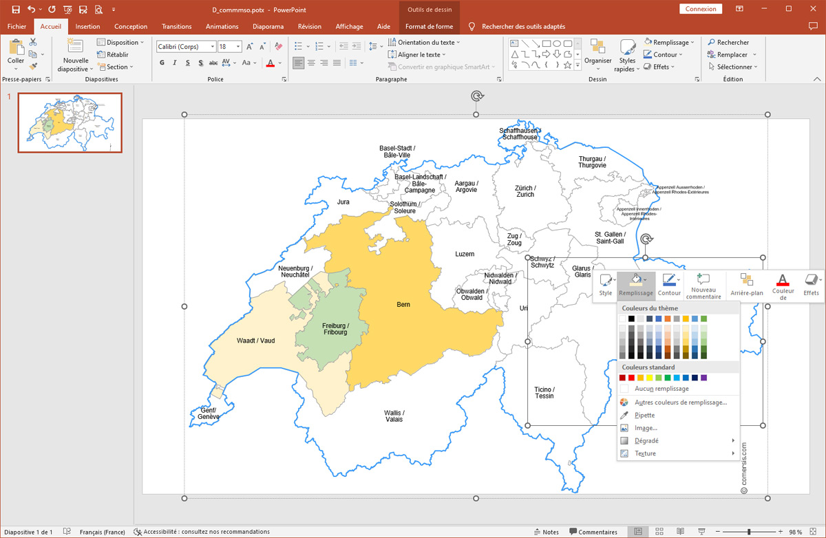
Editable map of Swiss kantons for Word and Powerpoint.
click on the map to enlarge Assemble your maps, add your annotations, info bubbles and graphics simply on your computer thanks to the editable maps for Microsoft Office® suite. Their vector format allows you to cut, resize, color and print in any size without losing quality. With a simple mouse click, select your geographical areas and change the size, background color and borders, text, captions... Share, print and export these maps without wasting your time drawing them.
tags Suisse,Schweiz,kantone,Office,map
 Editable Switzerland counties for Word and Powerpoint
 Word Switzerland counties for Word and Powerpoint
 Powerpoint Switzerland counties for Word and Powerpoint