Relief map of Morocco - roads and main towns
 Geographische Karte von Marokko - Straßen und größeren Städten
Relief Map of Morocco delivered in Illustrator (AI *) and Flash (FLA *)
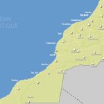
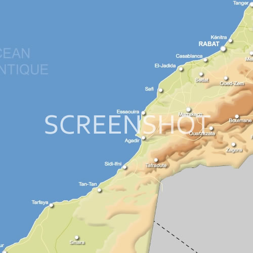 click on the map to enlarge
 Geographische Karte von Marokko - Straßen und größeren Städten
Relief Map of Morocco delivered in Illustrator (AI *) and Flash (FLA *)
click on the map to enlargetags
 Ai Relief map of Morocco - roads and main towns
 Flash Relief map of Morocco - roads and main towns
 Emf Relief map of Morocco - roads and main towns