Editable map of Middle East's states, built in vector, ready to use.
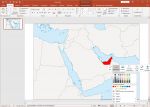
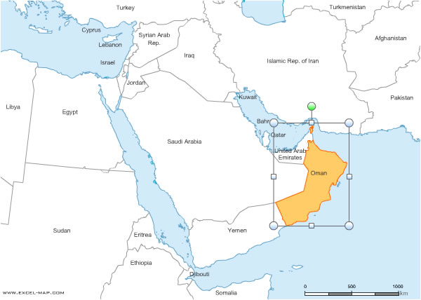 click on the map to enlarge
The files contained in this download
 Editable Middle East states map for Word and Excel
 Excel-2003 Middle East states map for Word and Excel
 Excel-2007 Middle East states map for Word and Excel
 Word-2003 Middle East states map for Word and Excel
 Word-2007 Middle East states map for Word and Excel
 Wmf Middle East states map for Word and Excel