Germany-districts-map.xls
Germany-districts-map.xlsx
And 2 Word® map pages :
Germany-districts-map.doc
Germany-districts-map.docx
Resizable : Germany-districts-map for Excel and Word is drawn in vector
wich allows a lossless image quality resize.
Splittable : By a simple MAJ+CLIC, you can select one
or several areas (countries) of this map in order to create
a detail map view (a kind of zoom) and resize it as you need.
Colorable : Each division of this map (bezirke)
is independant. Borders, outlines, shapes, layout, texts can be modified.
Linkable : You can add hypertext links on text and
areas.
Exprotable : Once your map edited, you can save it
as a PDF document, a simple image or a clickable HTML web map page*.
By default, maps are pre-colored in shades of orange. It's just a mouse
click to change !
* Read our tutorials. | 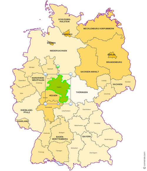 click on the map to enlarge
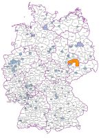
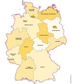
 Editable Excel and Word editable map of Germany districts
 Excel-2003 Excel and Word editable map of Germany districts
 Word-2003 Excel and Word editable map of Germany districts
 Excel-2007 Excel and Word editable map of Germany districts
 Word-2007 Excel and Word editable map of Germany districts
 Office Excel and Word editable map of Germany districts