This download contains 2 Excel® workbooks :
# Africa-countries-map.xls
# Africa-countries-map.xlsx
# 2 Word® map pages :
# Africa-countries-map.doc
# Africa-countries-map.docx
# 2 Powerpoint® map slides :
# Africa-countries-map.ppt
# Africa-countries-map.pptx
And also Africa-countries.wmf, which you may insert in all Office software.
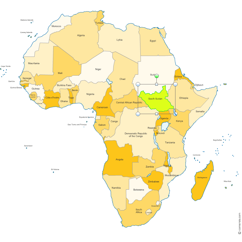 click on the map to enlarge
The files contained in this download
 Editable Editable Word and Excel map of Africa states
 Excel-2003 Editable Word and Excel map of Africa states
 Word-2003 Editable Word and Excel map of Africa states
 Excel-2007 Editable Word and Excel map of Africa states
 Word-2007 Editable Word and Excel map of Africa states
 Powerpoint Editable Word and Excel map of Africa states
 Office Editable Word and Excel map of Africa states