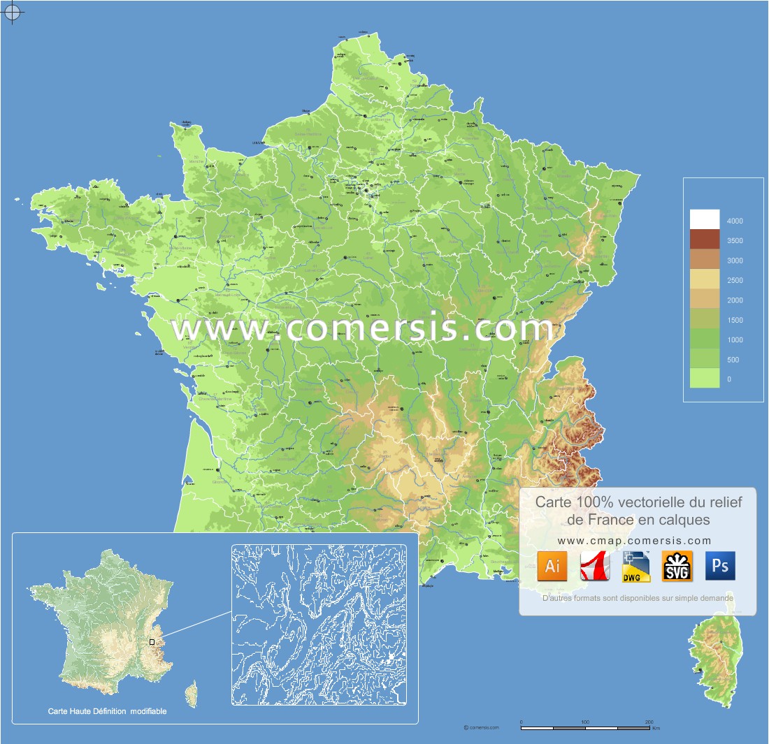
Vector map of the reliefs of France built in editable layers.
This map is part of the L2011 Series compatible with the other layers such as roads, traditional countries, counties and regions, communanutés municipalities, cities ...
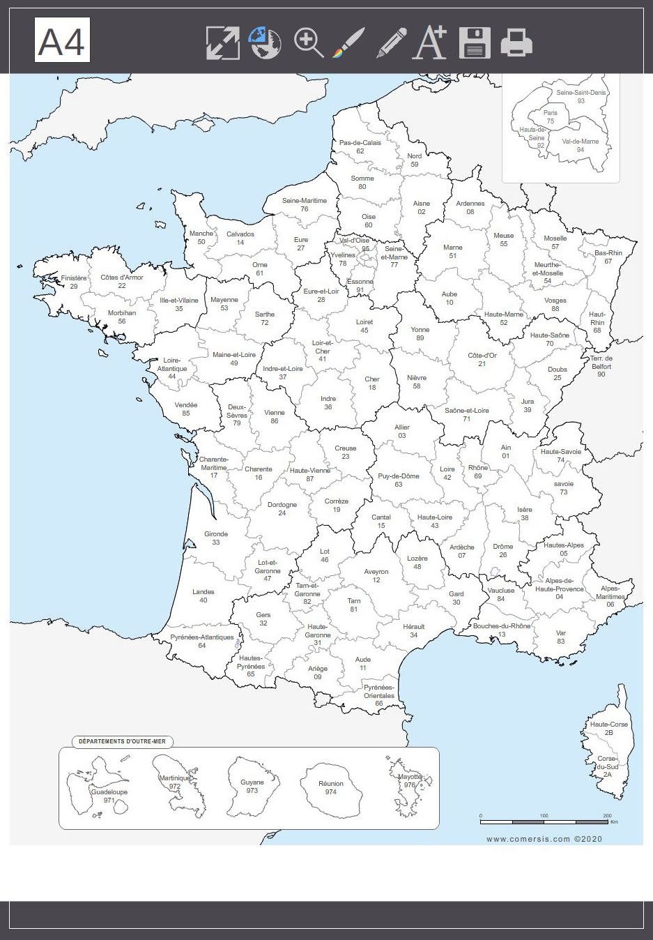
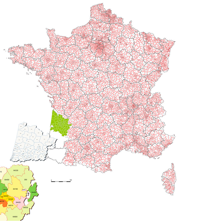
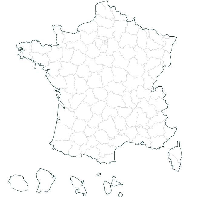
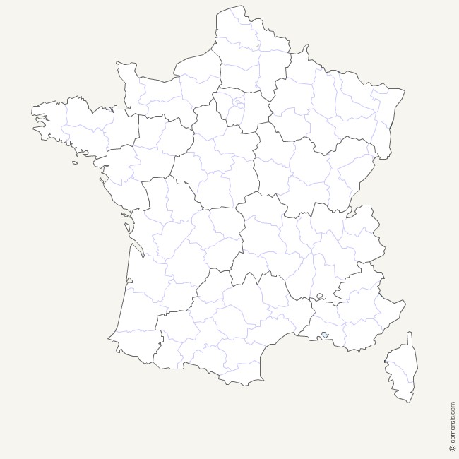
2017 Vector base map of towns of France in with departmental boundaries.
Old townships named of France and overseas, vector map layers in Illustrator formats, EPS, PDF and SVG.
Detail of the Paris region.
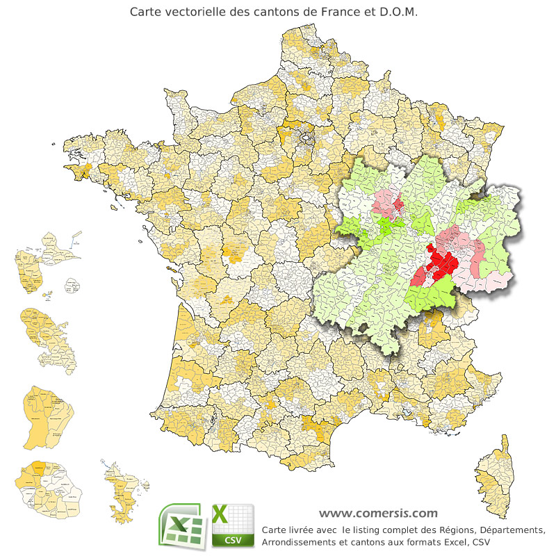
Provided with the Excel and Csv listing of cantons of France (source: INSEE).
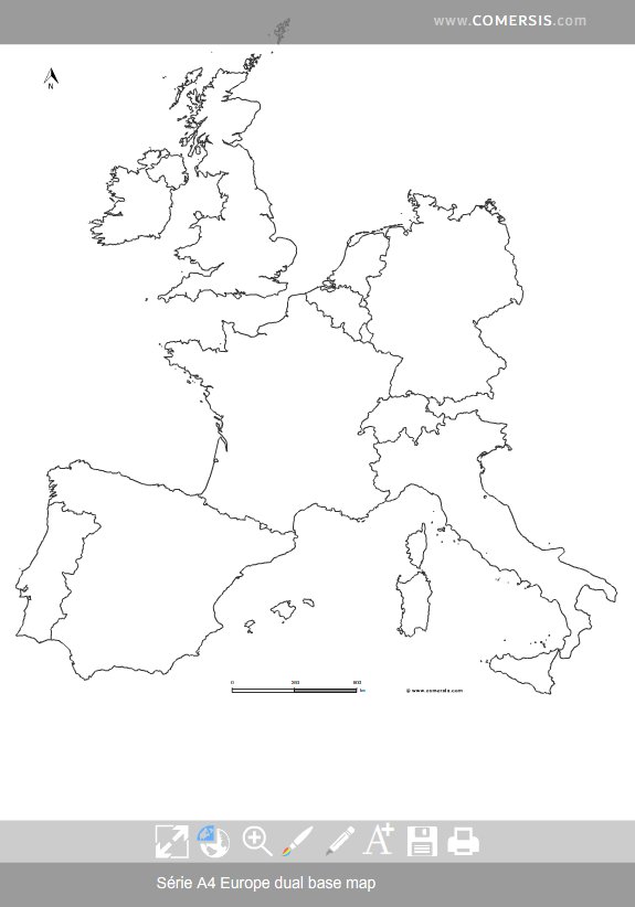
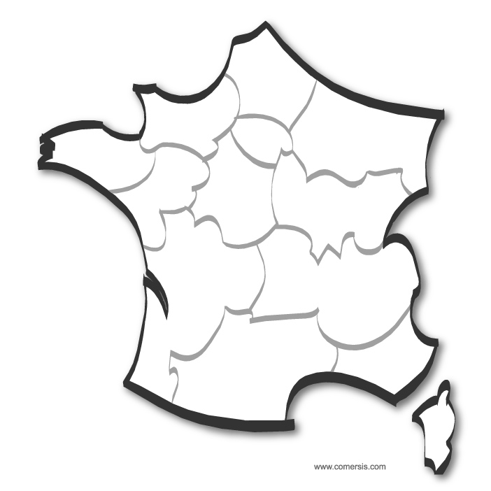
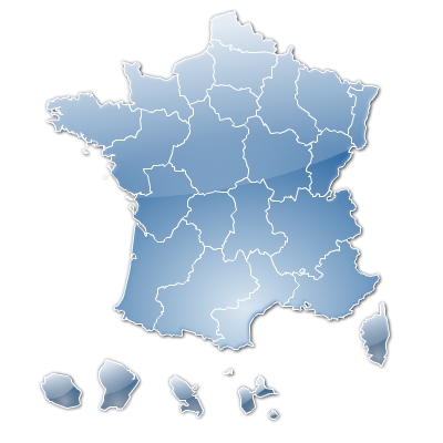
France departments (provinces) stylized Vector map.
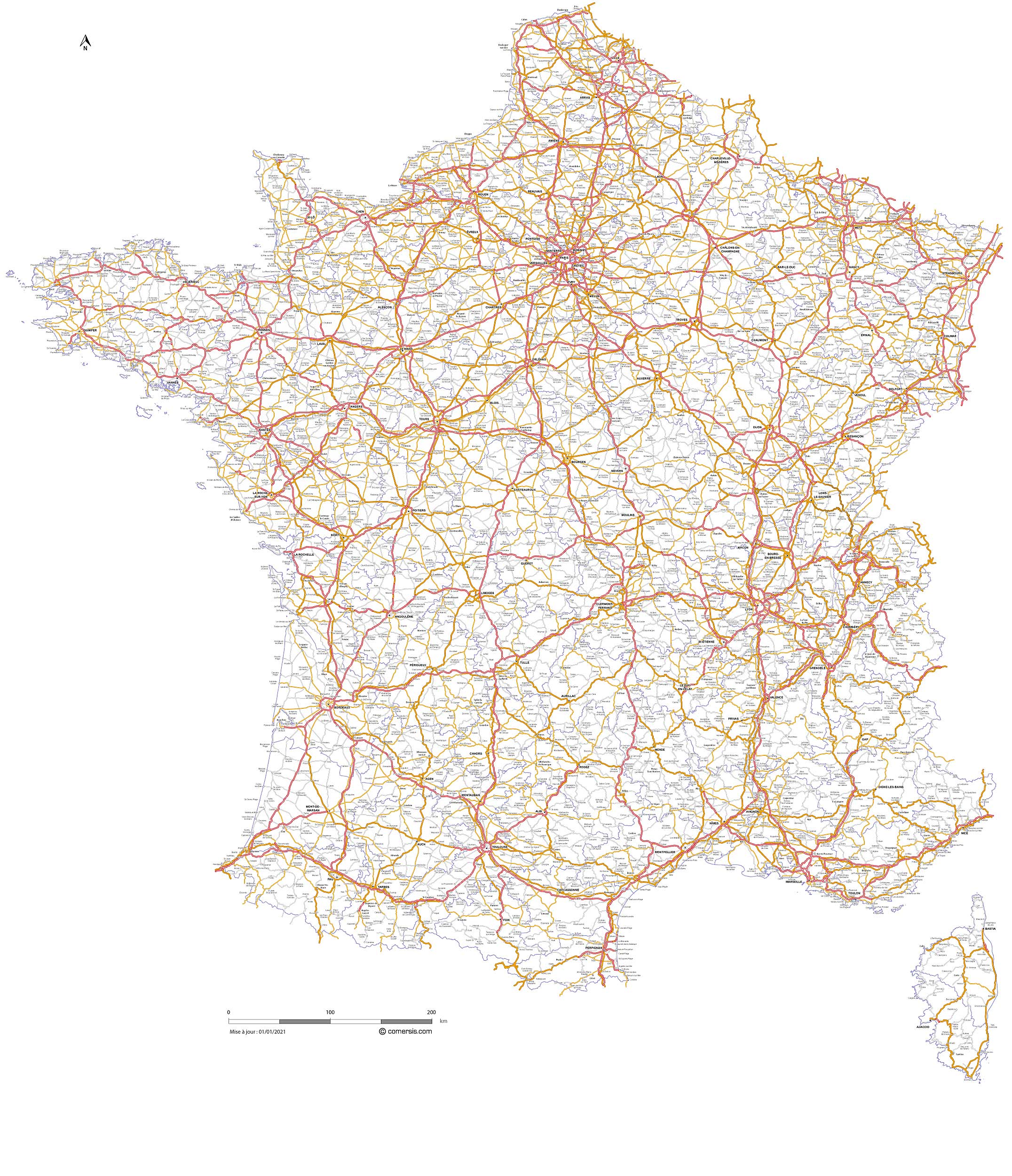
Eps, Svg, Flash Files.
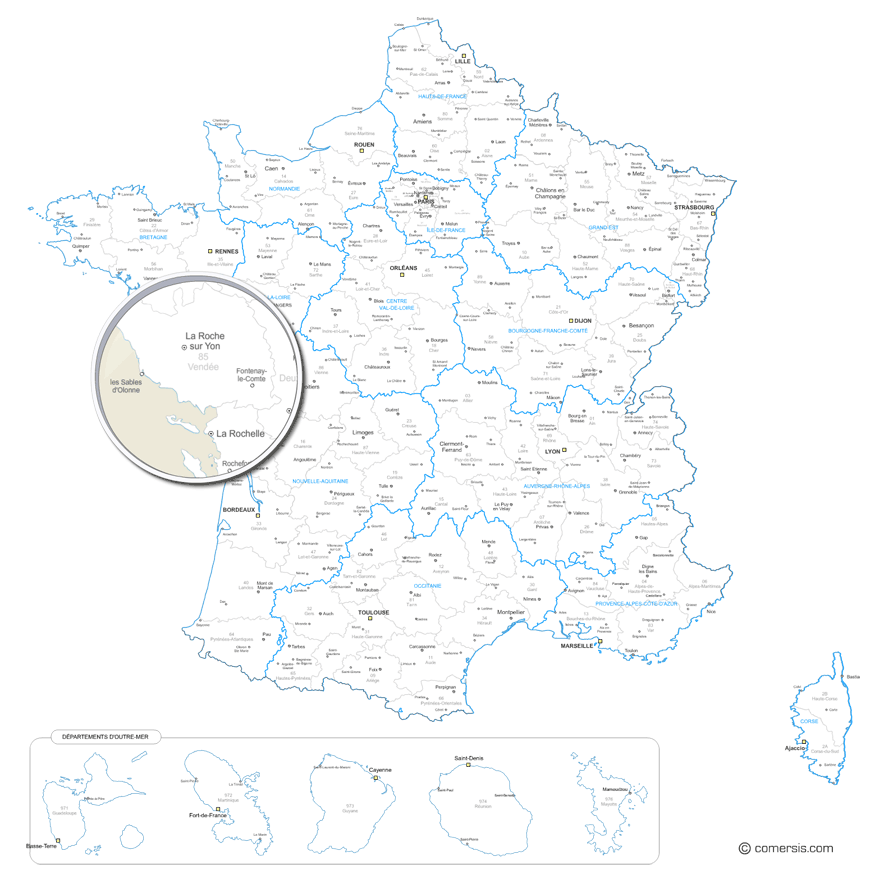
Raster and vector map of the new 2016 regions and departments of France and Dom, with names of departments and capital cities and regional capitals of departments.
Each region or departement is a separated vector object.
New Regions of France localization clipart map Pack with Dom and Com outlines vector
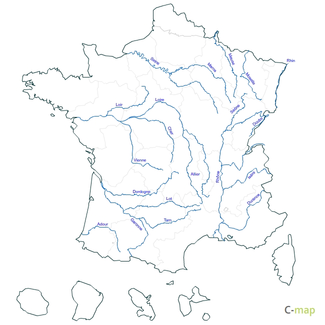
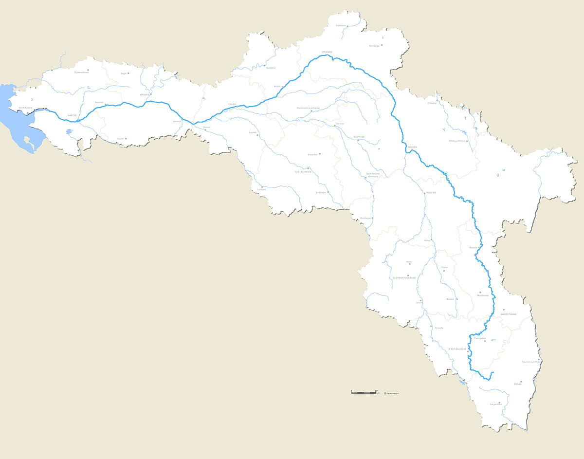
Vector editable map of the whole course of the river La Loire with crossed departmental boundaries and major cities.
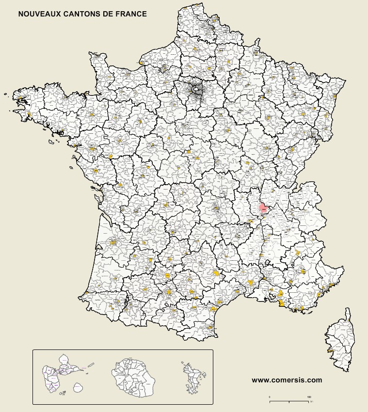
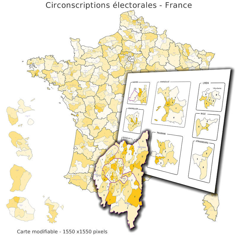
Vector map of the new cantons (districts) of France with Guadeloupe, Reunion and Mayotte.
Each canton is named (non vectorized text).
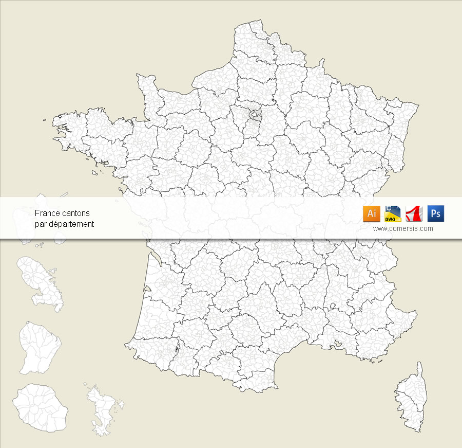
Editable vector map of French old cantons provided with an Excel and csv list of all cantons.
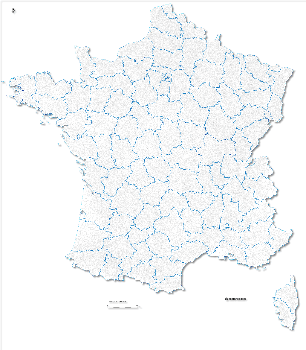
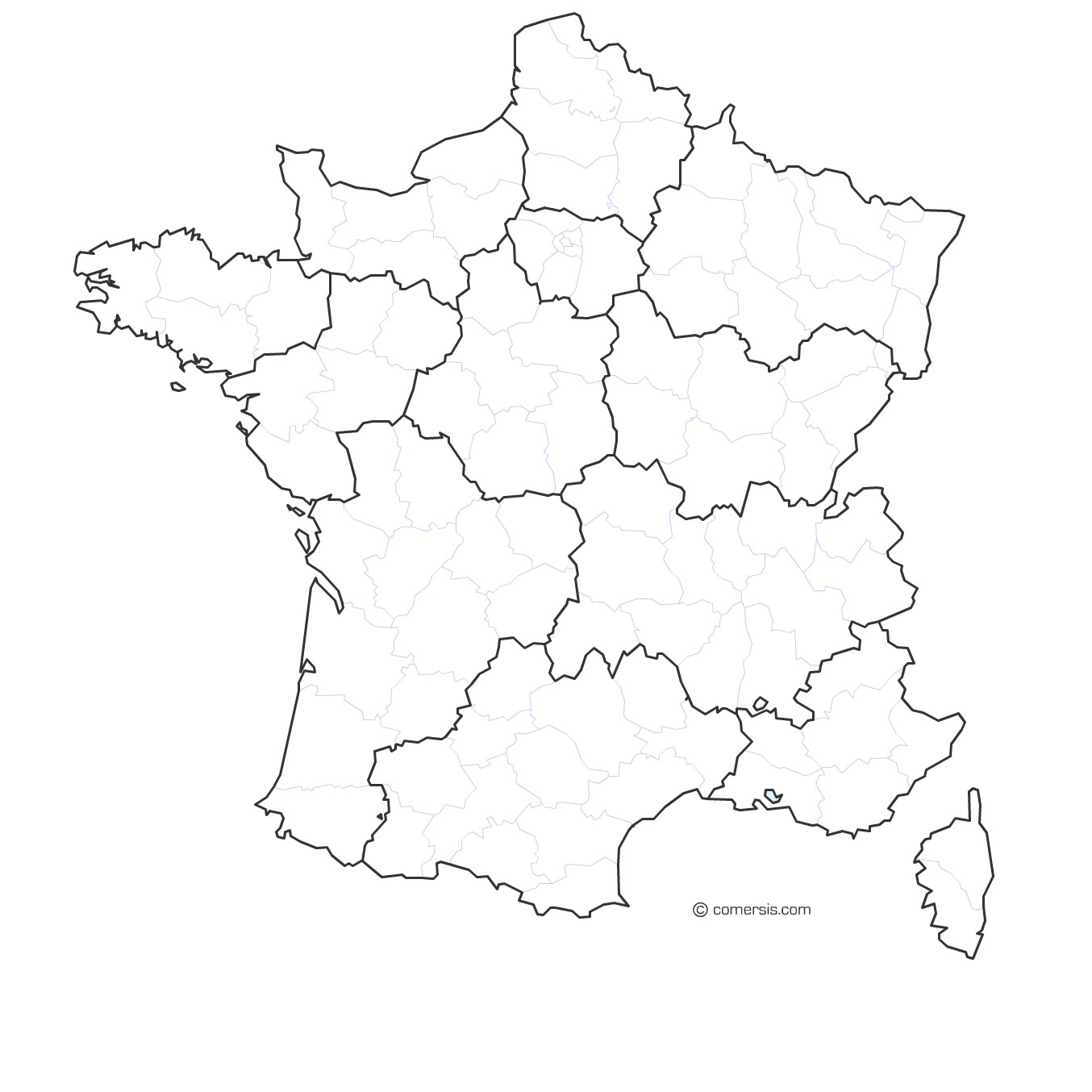
Districts of France, editable vector map layered by regions.
Each district is an independent vector object and can be modified(color, shape, text, dimensions ...)
Map supplied with the listing of the districts of France ( Excel XLS ).