
Excel macro map with automatic colouration of the municipalities of Netherlands according to your values.

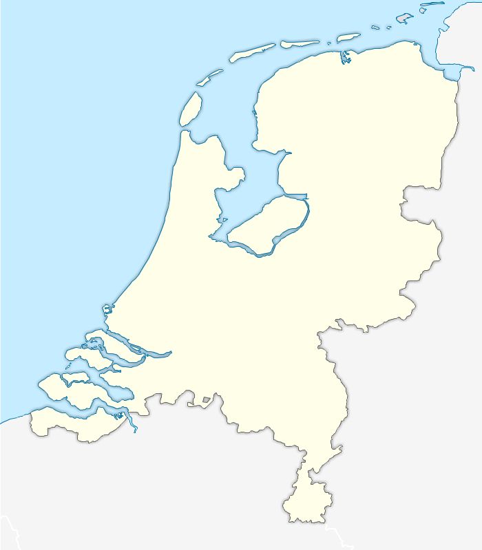
Map of Motorways and main roads of the Netherlands vector formats eps, Illustrator, Svg and Acrobat Pdf.
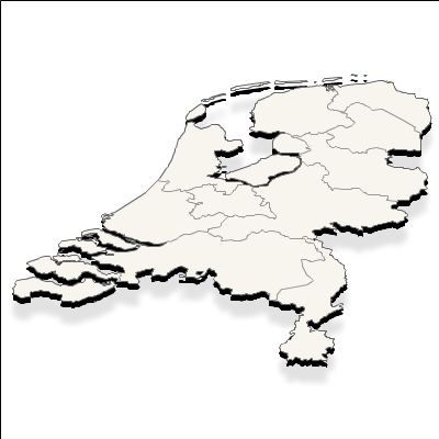
Editable map of Netherland in Illustrator 9.0, Pdf and Fla Flash v8.0 pro
18 country
Aruba (see also separate entry under AW), Bonaire (see also separate entry under BQ), Curaçao (see also separate entry under CW), Drenthe, Flevoland, Friesland, Gelderland, Groningen, Limburg, Noord-Brabant, Noord-Holland, Overijssel, Saba (see also separate entry under BQ), Sint Eustatius (see also separate entry under BQ), Sint Maarten (see also separate entry under SX), Utrecht, Zeeland, Zuid-Holland,