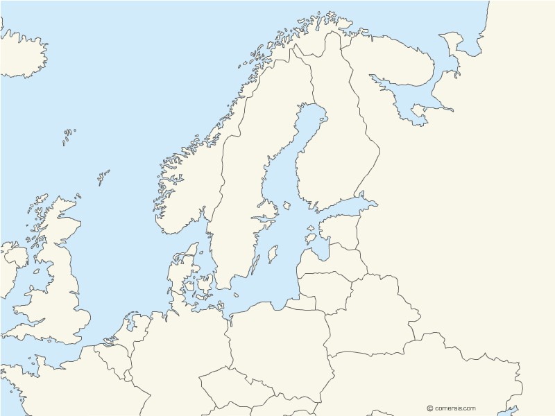
Customizable background map of the Baltic Sea with bordering countries.
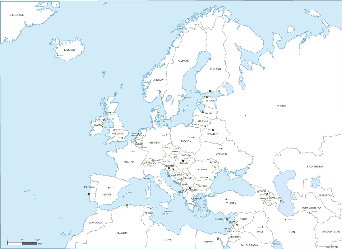
Europe continent vector map with borders. Map in layers, editable file size 1100 x 800 pixels.
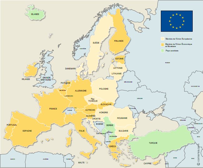
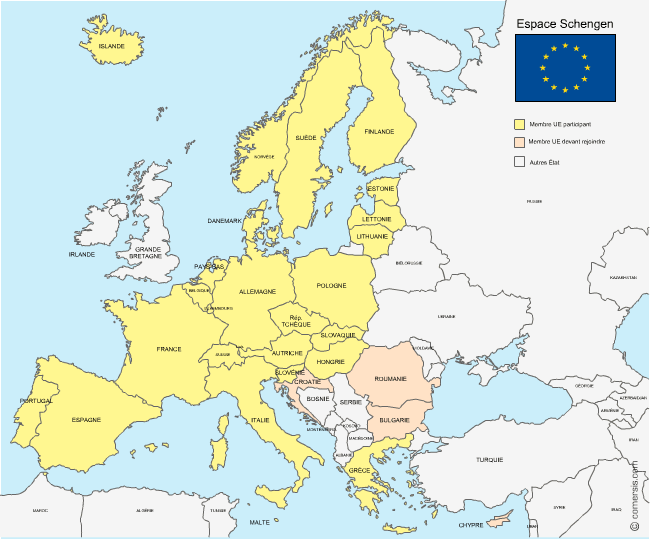
Free Illustrator map of the member countries of the European Union and the Economic and Monetary Union and candidate countries.
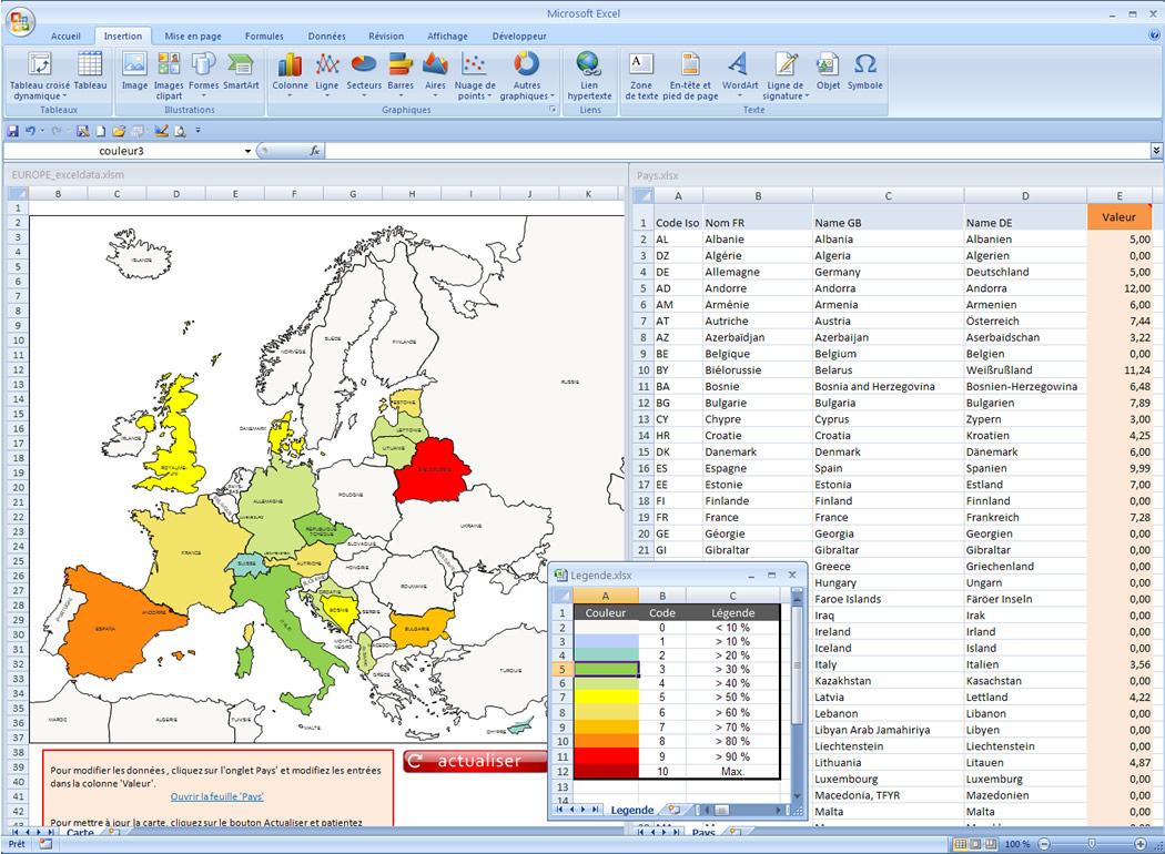
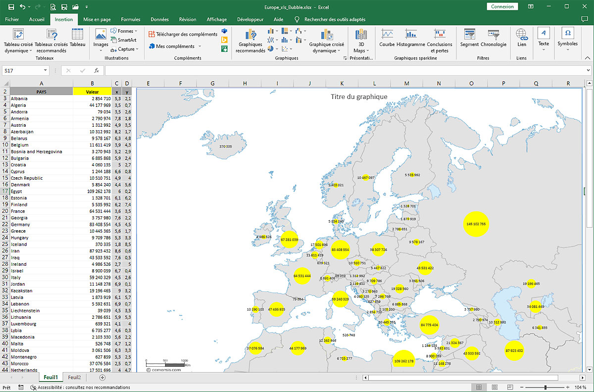
Automatic map of Europe countries for Excel.
Proportional or manual coloring map.
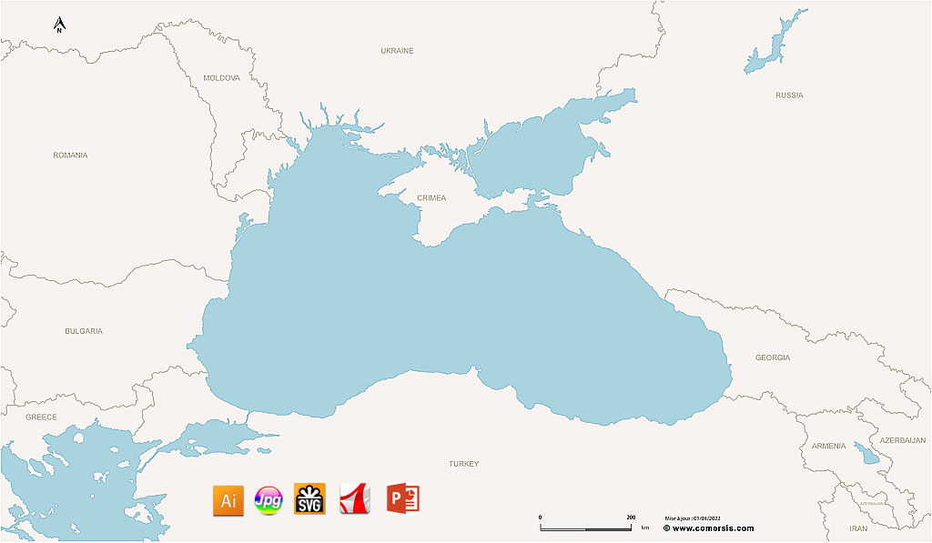
Customizable background map of the Black Sea with neighboring countries.
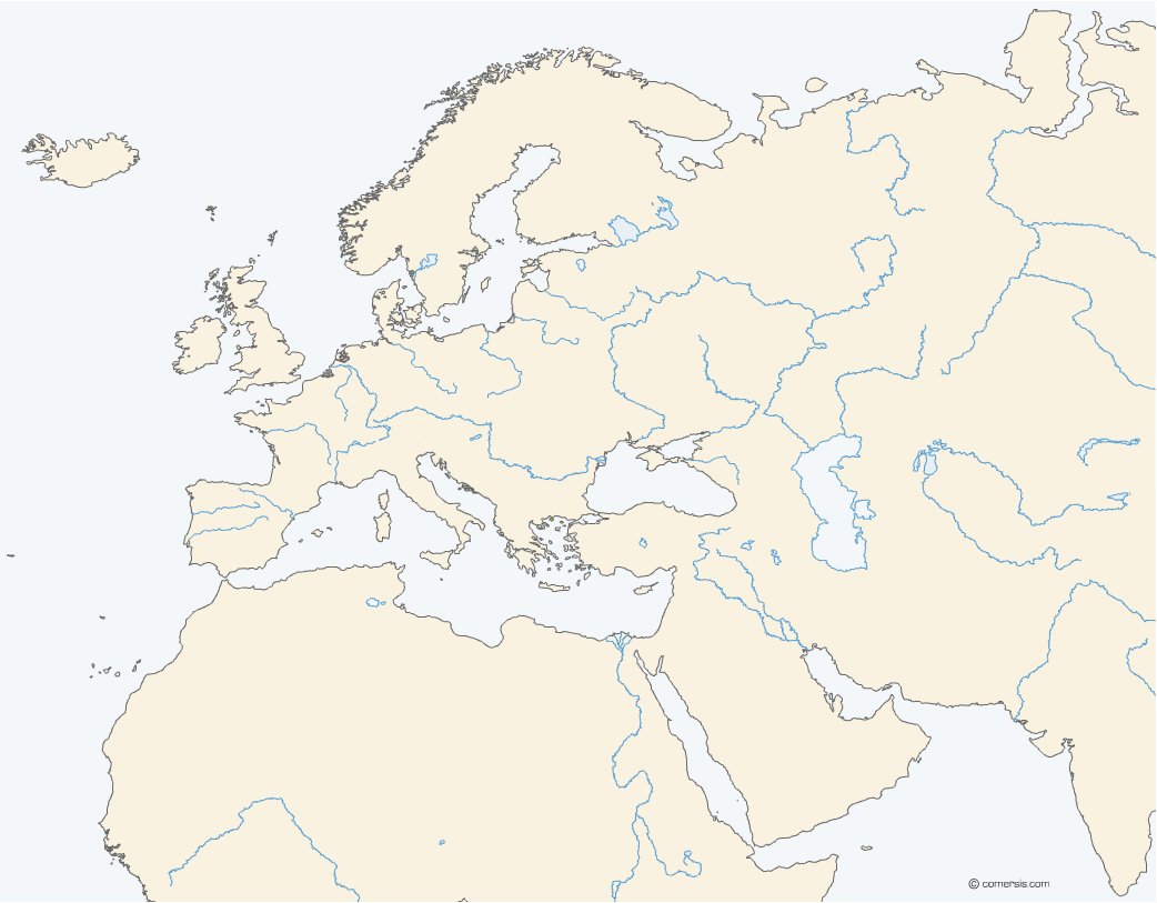
Customizable basemap of the Europe, North Africa and Middle East zone without boundaries.
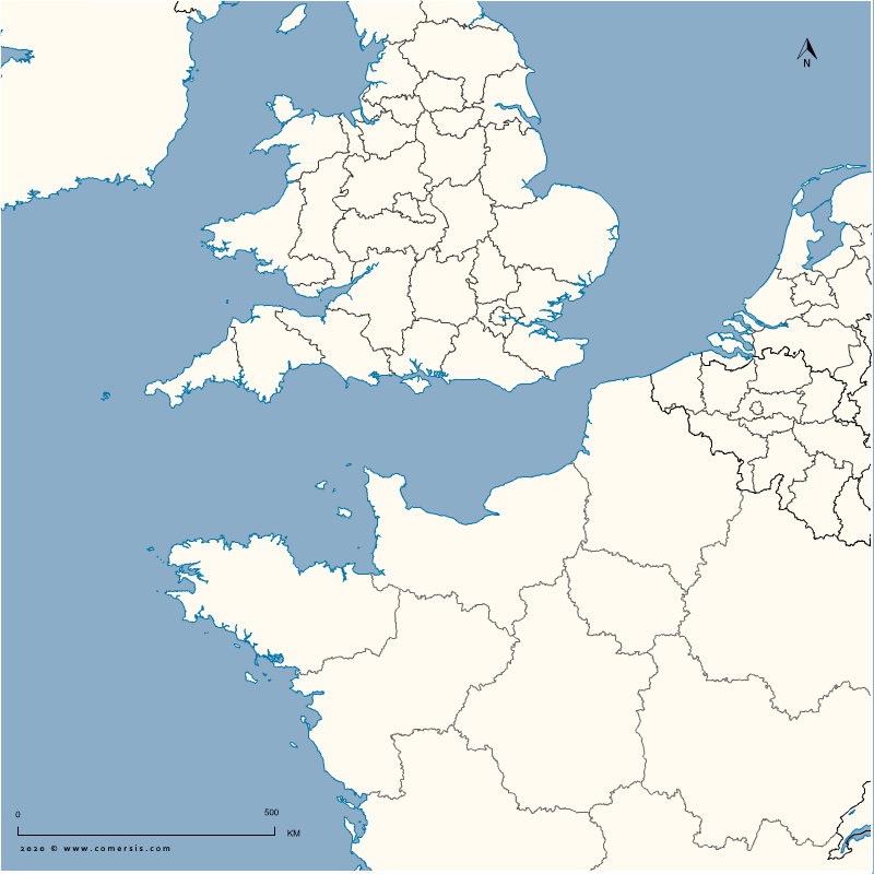
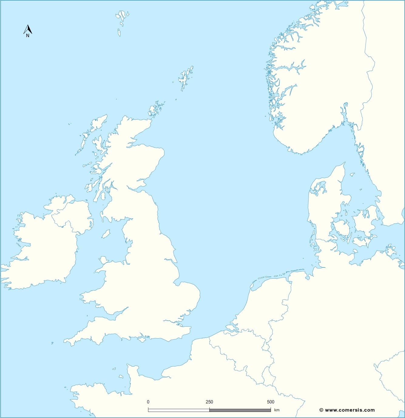
Free base map of the English Channel (sea), customizable in Illustrator, PDF, SVG and Jpeg-HQ formats.
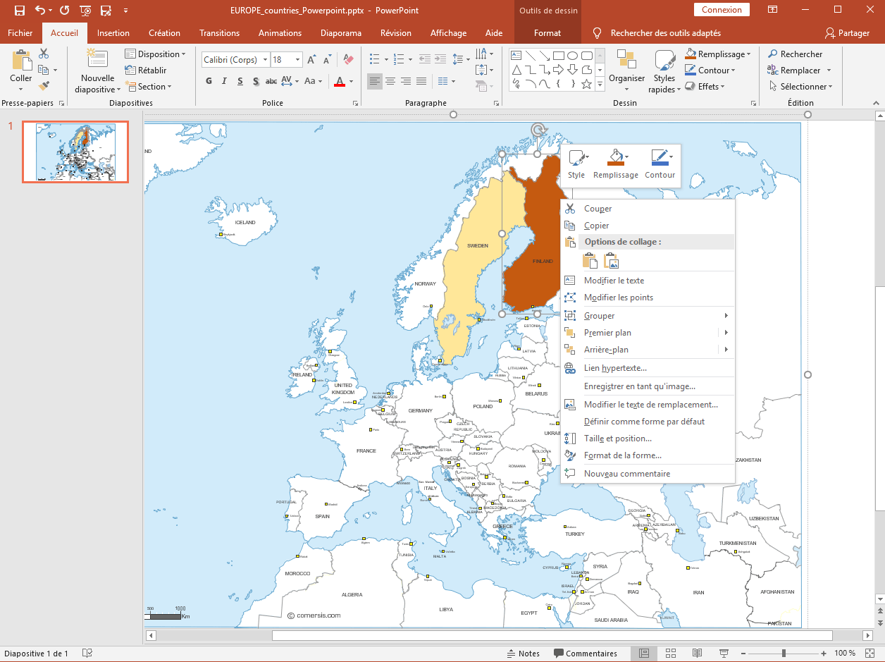
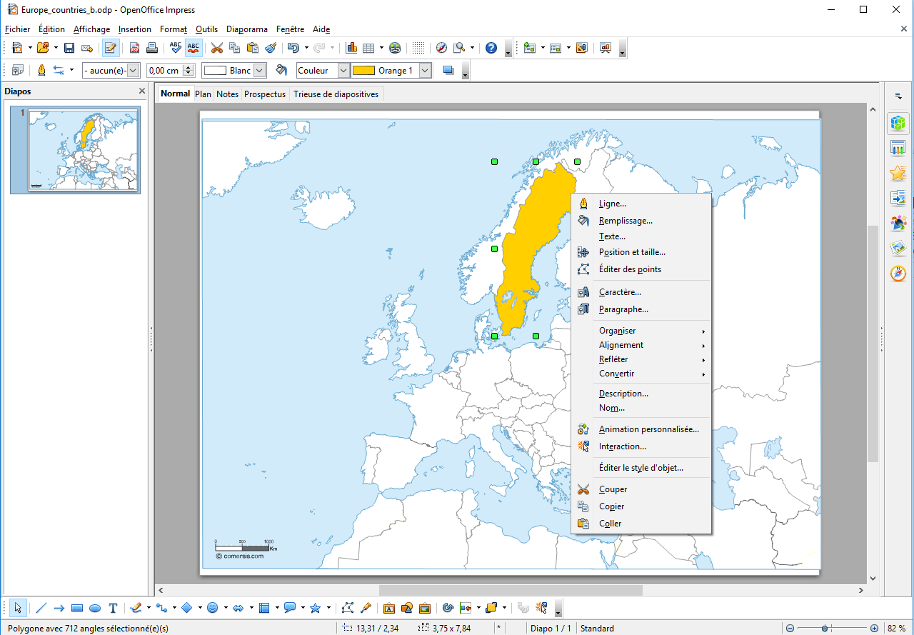
Working document - Map of European countries that can be edited in Excel, Powerpoint and Word files.
Free Photoshop map of the member countries of the European Union and the Economic and Monetary Union and candidate countries.

Editable Map of Europe borders with coutries names and capitals.
EPS and SVG (inkscape free tool) editable map, non-vectorized texts.
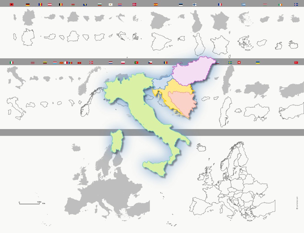
Shapes and outlines of the European countries ready to assemble and color to your designs and presentations.
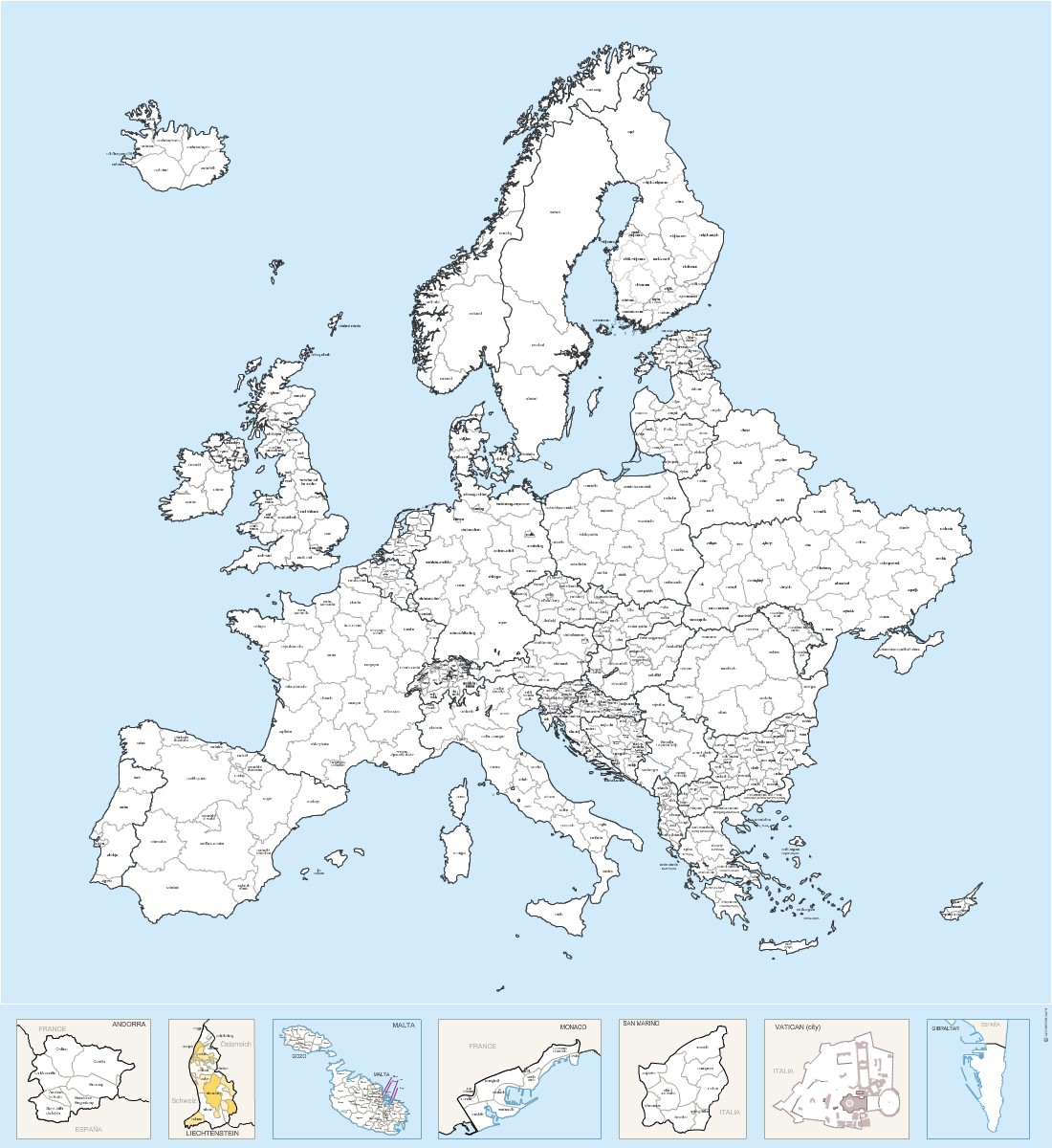
Map of Regions and provinces of Europe countries and micro-States with name.
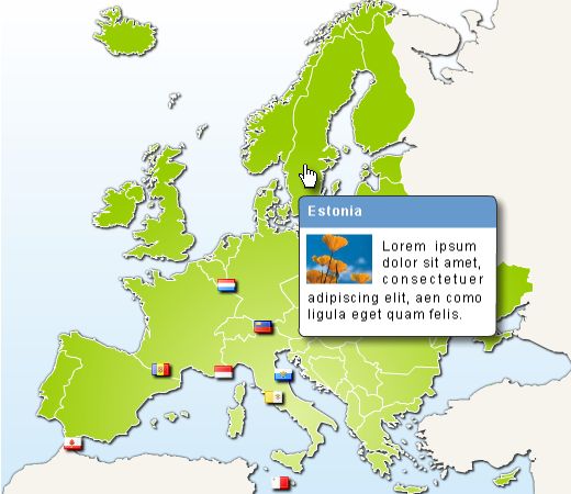
Map of European countries and micro-states (Andorra, Monaco, San Marino ...) in HTML with clickable links and editable CSS bubbletip accepting html tags.
Each country can be linked to url of your choice.
Source code in two languages: French and English
IN THE ZIP FILE :
1 pure html version
1 version Bubble info Javascript / CSS
You can change the appearance of the bubble info (size, fonts, colors ...)
You can also change the look of the card through
original image files provided (Illustrator, Photoshop layers)

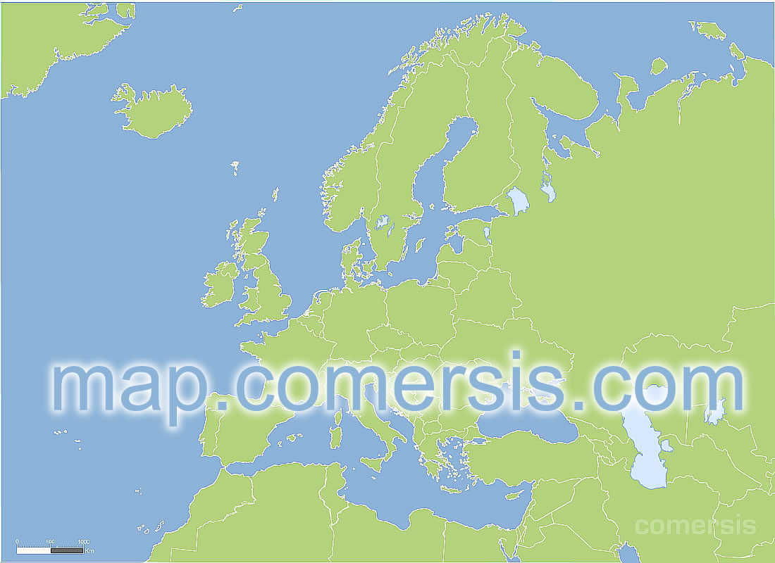
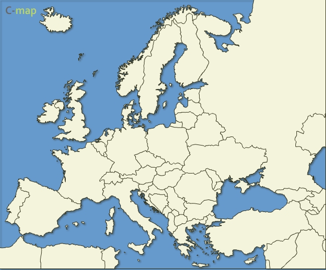
Free vector map of Europe continent.
Illustrator, Sxf (Flash) end Svg files.
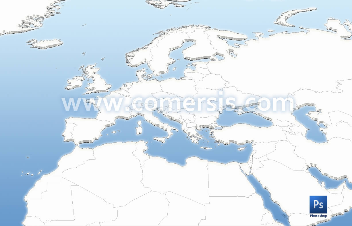
An outline map of Europe and Mediterranean countries boundaries in PSD Photoshop layers, with layer effects.

Clickable map of European countries with tooltip and separate links for each country.
Simply copy / paste the map and it works.