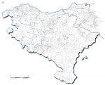
Vector map of the municipal contours of the Basque Country with the name of the municipalities, provinces and departments.
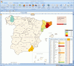
Mapping of the regions and provinces of Spain with coloration according to data. Requires Microsoft Excel.
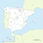
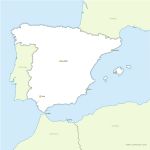
Illustrator and Acrobat PDF Spanish regions vector map with names and capitals of the autonomous communities of each region.
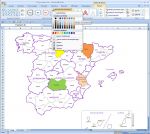
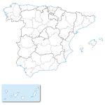
Map of communities and provinces of Spain ready to edit for Word, Excel and Powerpoint softwares.
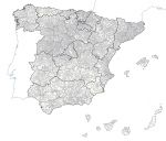
Map of communities, provinces and municipalities of Spain in layers ready to modify to suit your projects.
Ai Illustrator files and Acrobat PDF.
Other vector formats are available on simple request: Flash, WMF, AutoCAD DWG ...
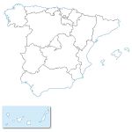
Free editable vector map of the autonomous communities divisions of Spain.
69 autonomous community
, , A Coruña, Álava, Albacete, Alicante, Almería, Andalucía, Asturias, Asturias, Principado de, Ávila, Badajoz, Baleares, Barcelona, Burgos, Cáceres, Cádiz, Canarias, Cantabria, Cantabria, Castellón, Castilla y León, Castilla-La Mancha, Catalunya, Ceuta, Ciudad Real, Córdoba, Cuenca, Extremadura, Galicia, Girona, Granada, Guadalajara, Guipúzcoa, Huelva, Huesca, Illes Balears, Jaén, La Rioja, Las Palmas, León, Lleida, Lugo, Madrid, Madrid, Comunidad de, Málaga, Melilla, Murcia, Murcia, Región de, Navarra, Navarra, Comunidad Foral de, Ourense, País Vasco, Palencia, Pontevedra, Salamanca, Santa Cruz de Tenerife, Segovia, Sevilla, Soria, Tarragona, Teruel, Toledo, Valencia, Valenciana, Comunidad, Valladolid, Vizcaya, Zamora, Zaragoza,