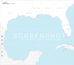
High definition vector map of gulf of Mexico with US states (Texas, Louisiana, Mississippi, Alabama, Georgia, Florida), CUBA island and Mexican provinces.
Original size : 1200 x 1060 pixels.
Illustrator, Svg and Swf files.
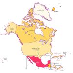
Editable map of North America's countries, built in vector, ready to use.


