
Map of provinces and / or municipalities of South Africa ready to edit with MS Office Word®, Excel® 2007/2010, 2016/365 and OpenOffice Calc and Write.
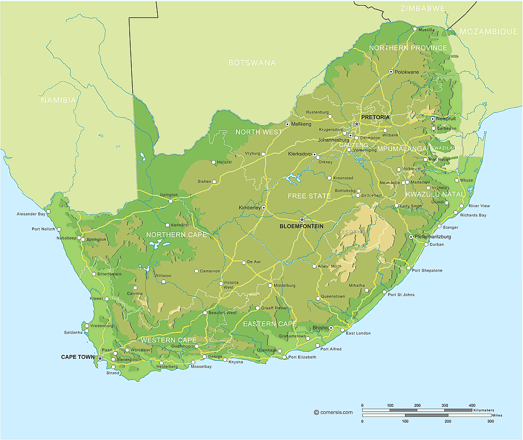
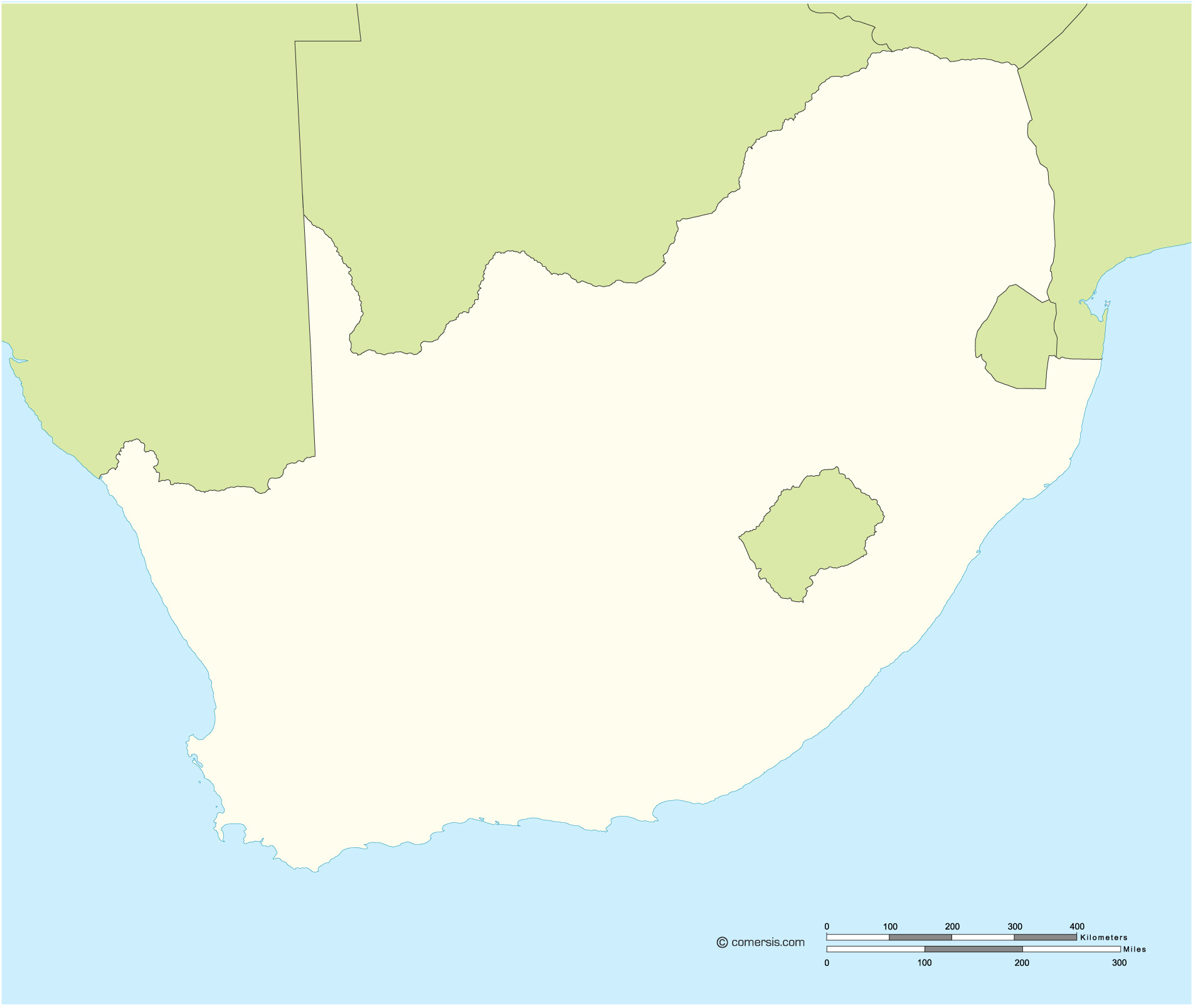
Vector outlines map of South Africa with border countries.
Eps, Svg, Swf files free to download.
9 Province
Eastern Cape, Free State, Gauteng, Kwazulu-Natal, Limpopo, Mpumalanga, North-West, Northern Cape, Western Cape,