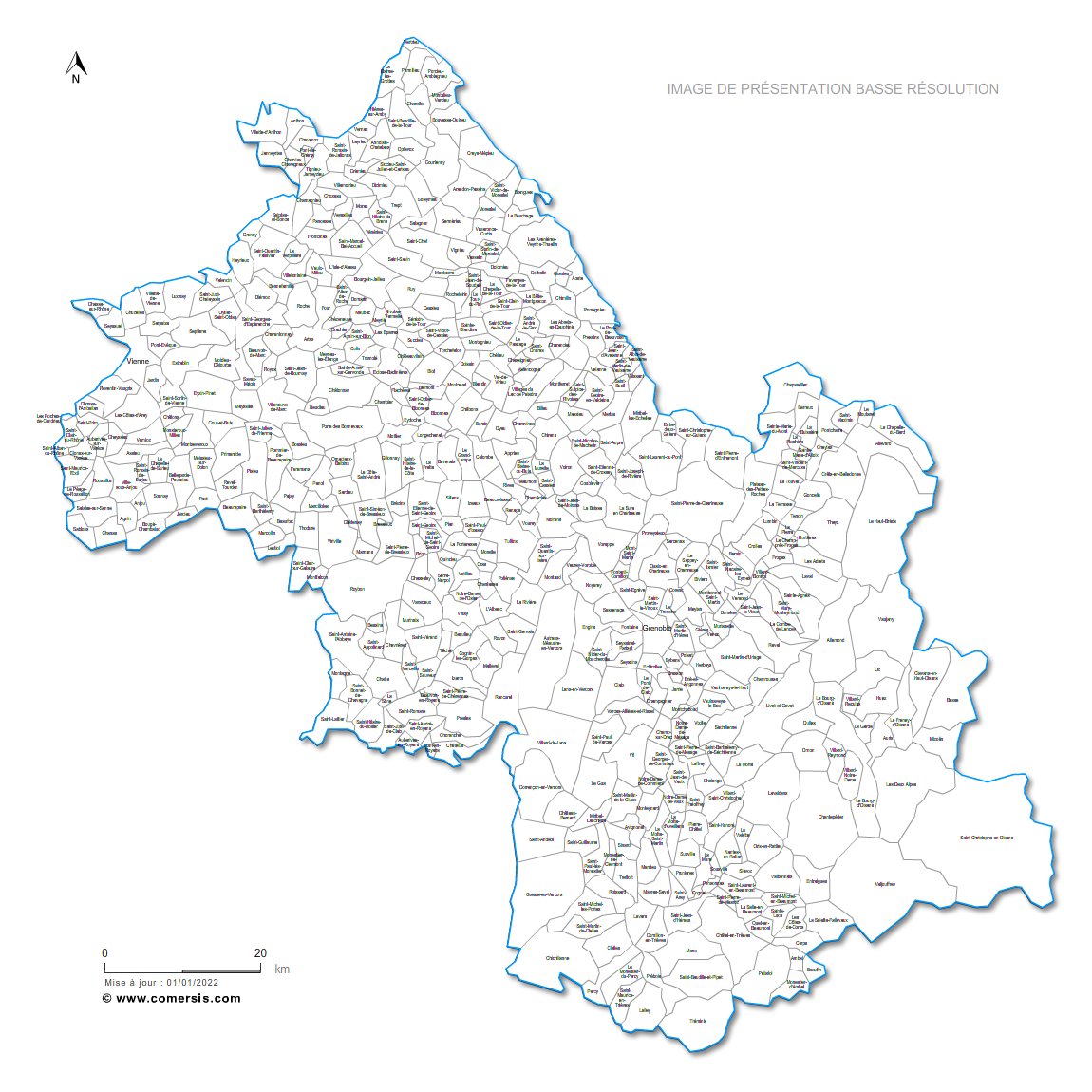
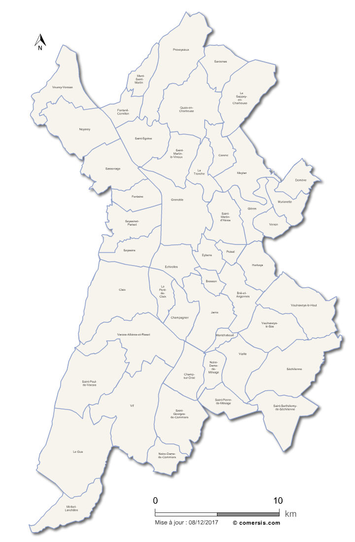
Editable cities map of Isère - France
Illustrator, EPS, PDF and SVG ready to use files.
Supplied with with a complete list and zipcodes of Isère municipalities (Excel).
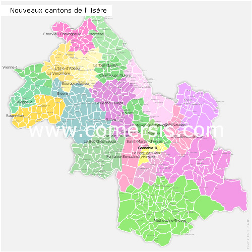
Editable counties map of Isère
Office Excel and Word ready to use sheets.
With full names.
Updated march 2014.
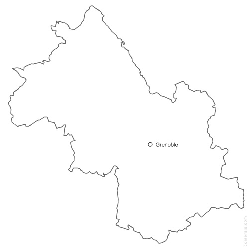
Free vector editable map of Isère department. EPS and PNG map file.
France department