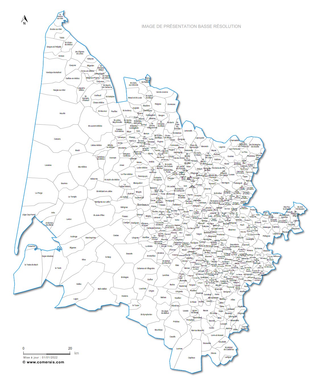
Editable cities map of Gironde - France
Illustrator, EPS, PDF and SVG ready to use files.
Supplied with with a complete list and zipcodes of Gironde municipalities (Excel).
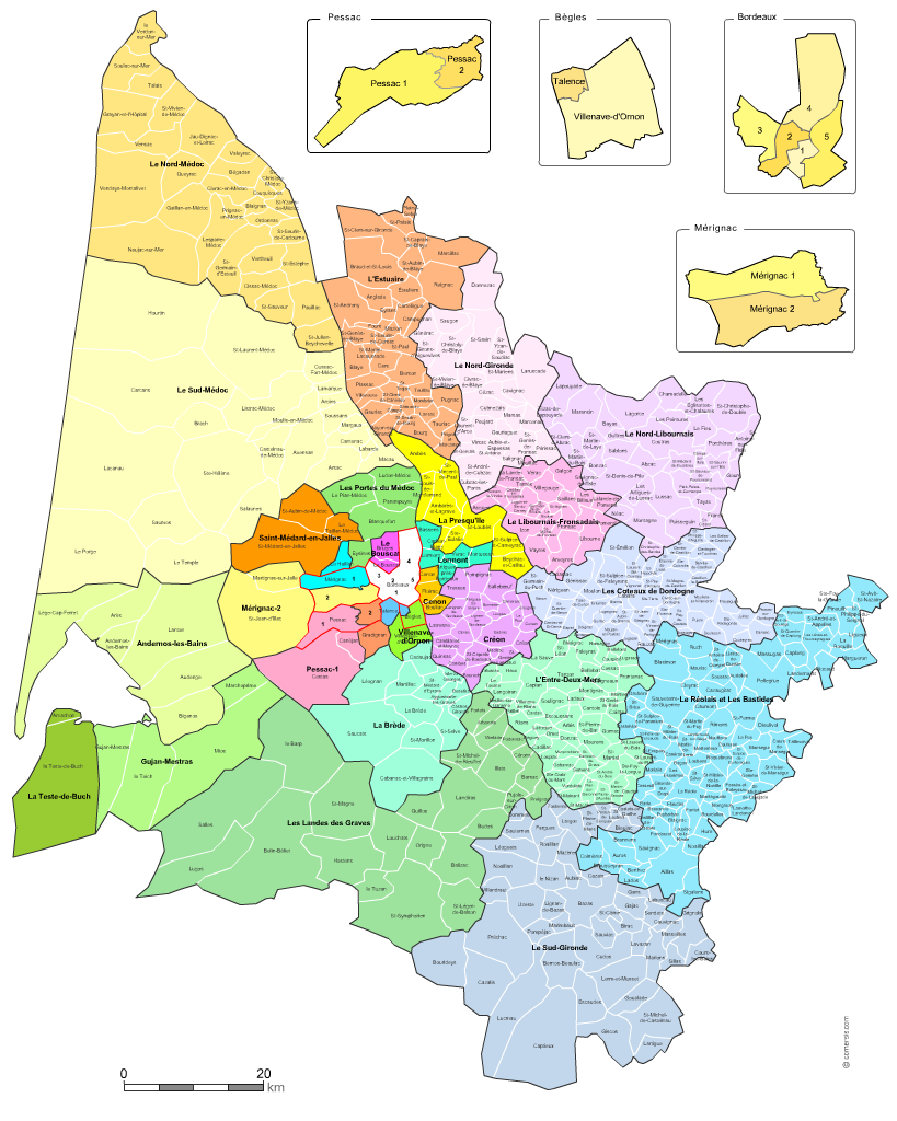
Editable counties map of Gironde
Office Excel and Word ready to use sheets.
With full names.
Updated march 2014.
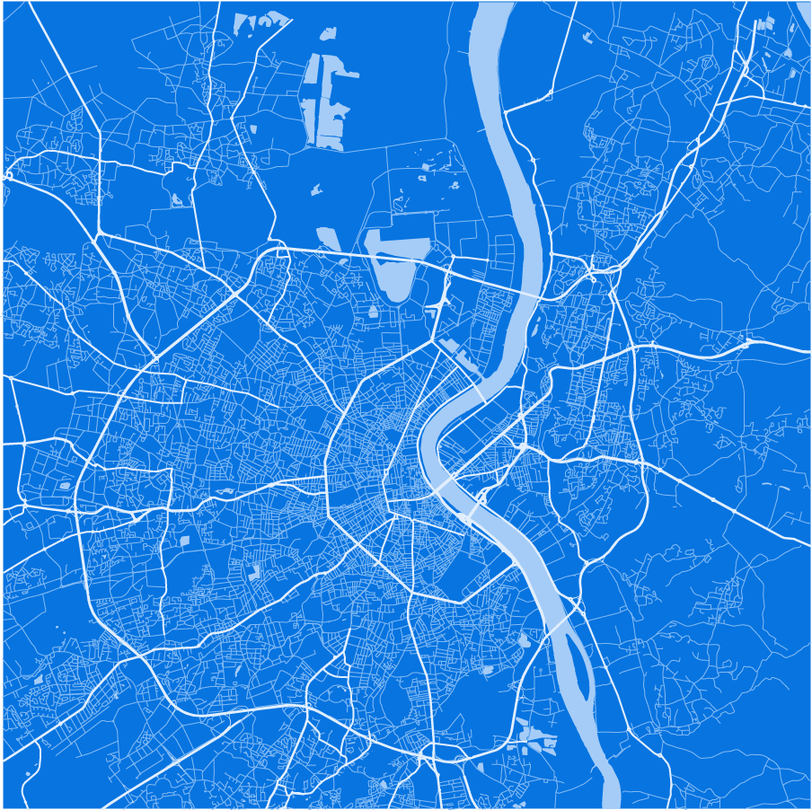
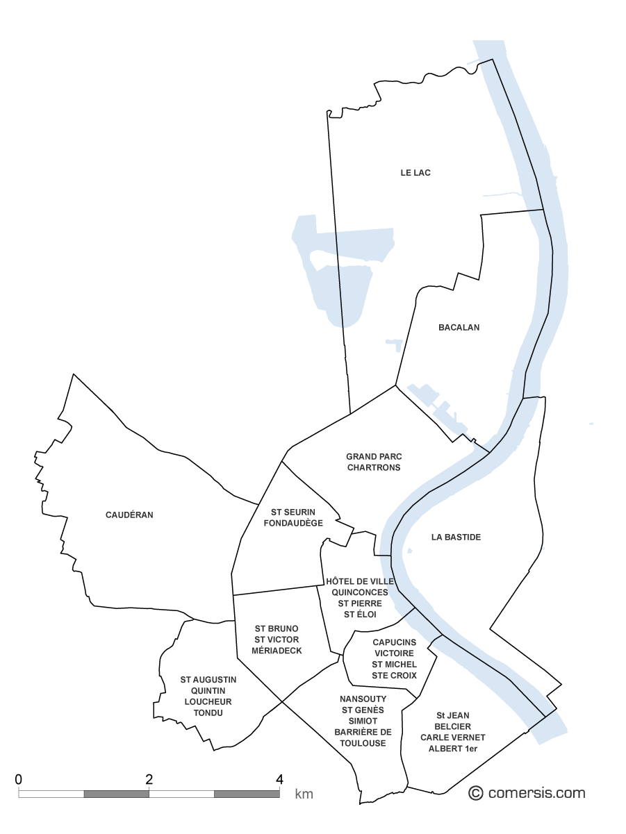
Plan poster of the streets of Bordeaux monochrome to modify and print according to your needs. Prints all dimensions (vectorial), Illustrator, Eps and PDF files into layers.
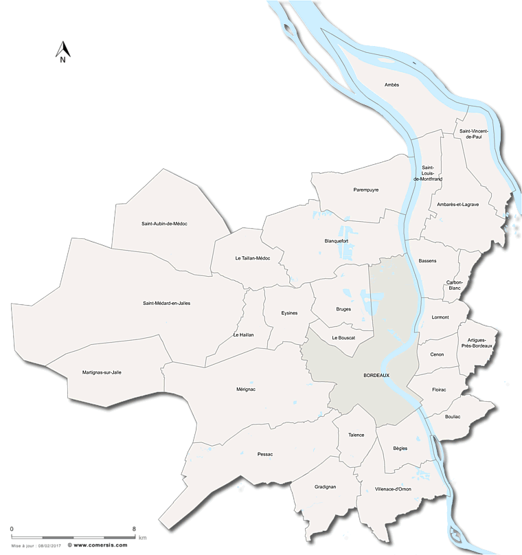
Map of the 28 municipalities making up the Metropole of Bordeaux (Bordeaux Métropole).
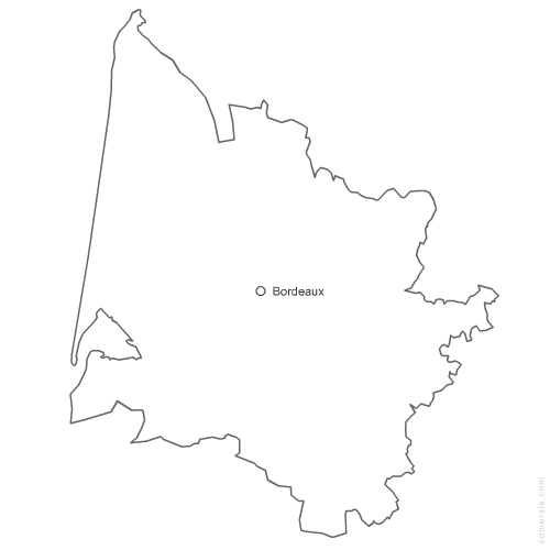
Free vector flash map of Gironde department. WMF and EMF map file.
France department