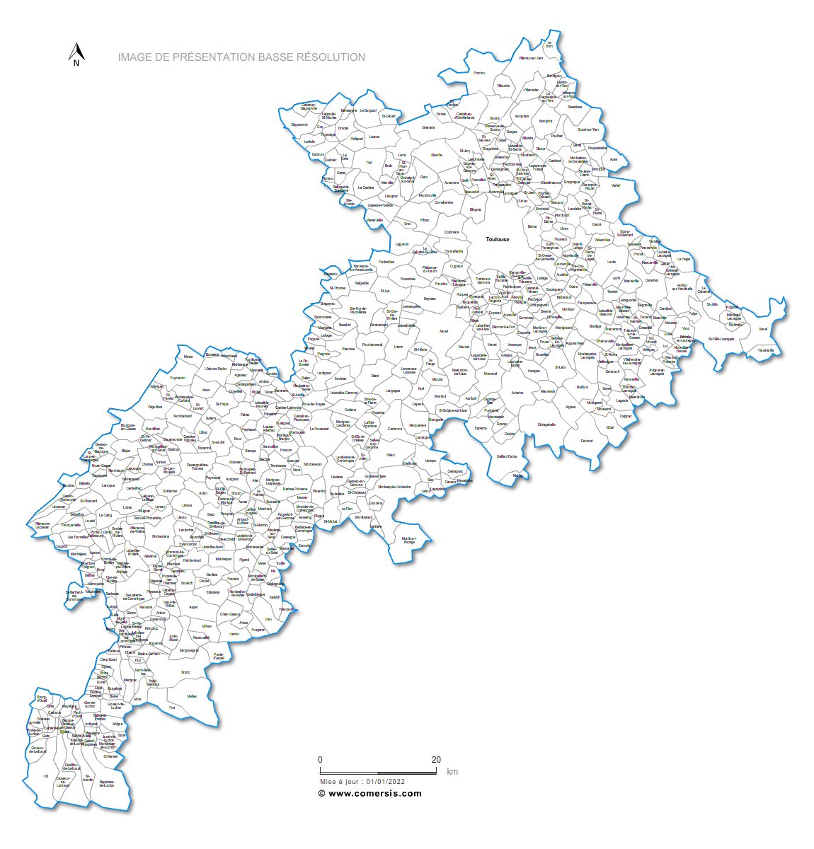
Editable cities map of Haute-Garonne - France
Illustrator, EPS, PDF and SVG ready to use files.
Supplied with with a complete list and zipcodes of Haute-Garonne municipalities (Excel).
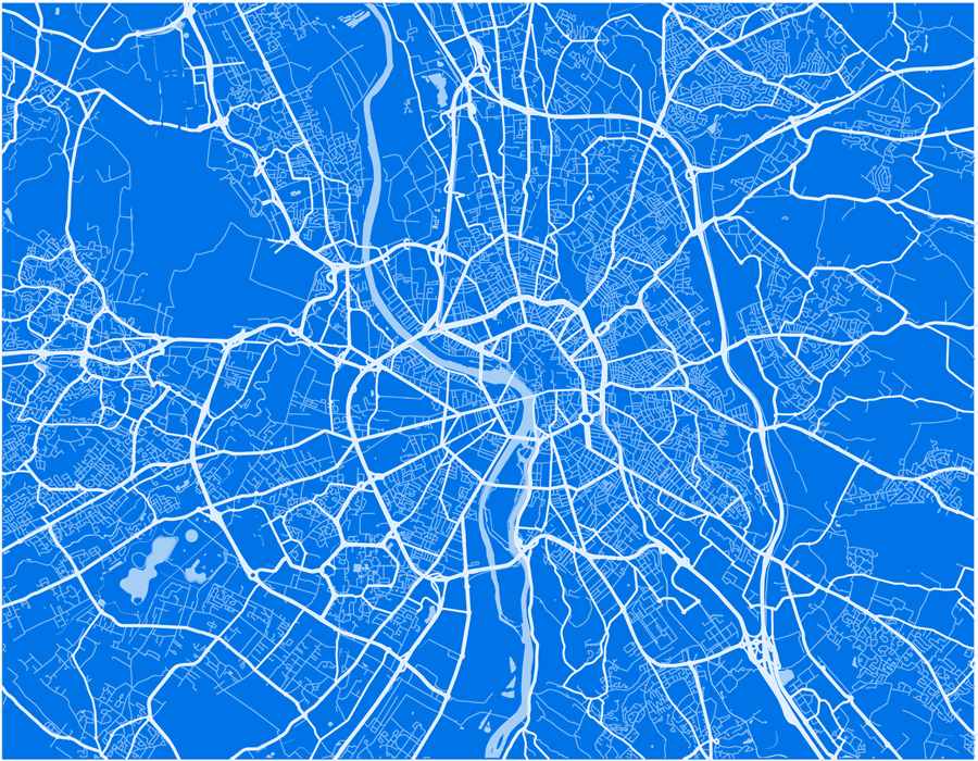
Unicolor map of Toulouse streets to edit according to your needs. Prints all dimensions (vectorial), Illustrator, Eps and PDF files into layers.

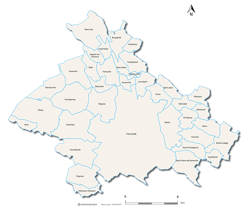
Editable counties map of Haute-Garonne
Office Excel and Word ready to use sheets.
With full names.
Updated march 2014.

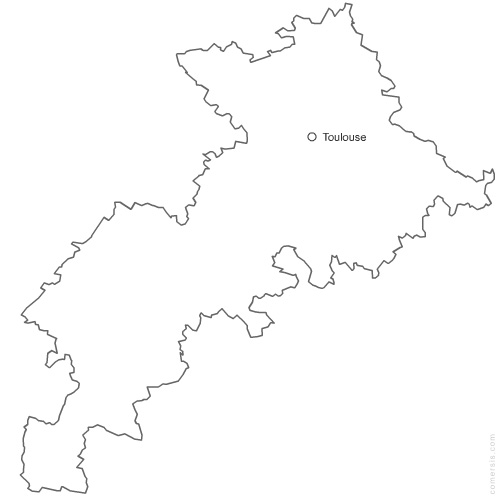
Free vector map of Haute Garonne department. Eps and Png map file.
France department
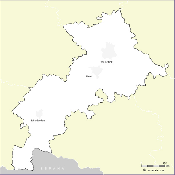
Free vector map of Haute-Garone Illustrator (.ai in layers), Flash (open .swf) and SVG map files.